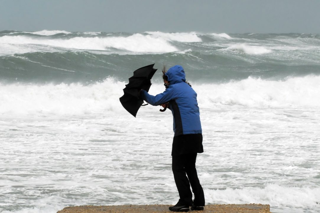
Parts of Scotland are to be battered with 75mph winds amid a yellow weather warning from the Met Office.
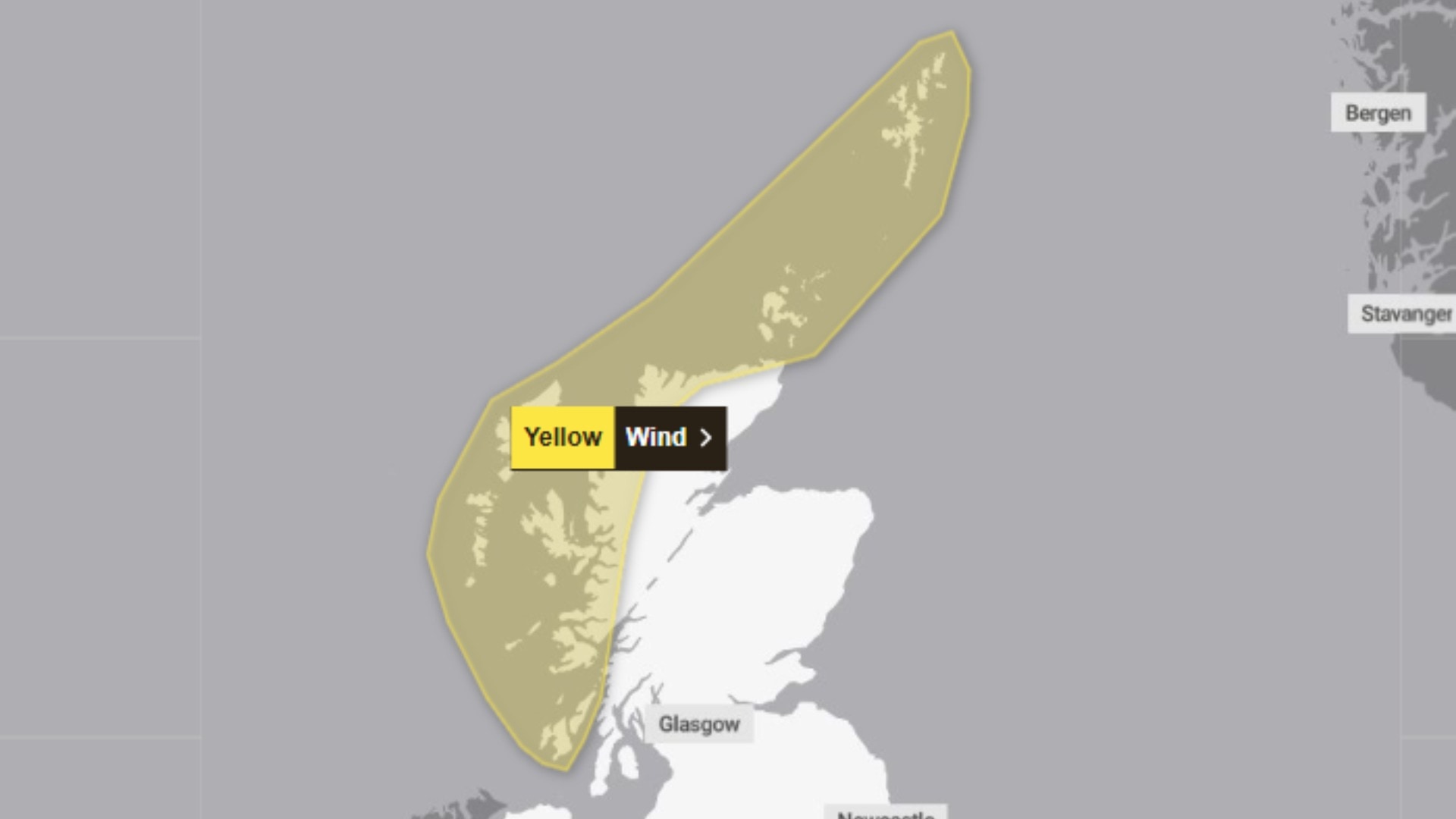
The Highlands and Islands and parts of Argyll and Bute are to be hit with strong gales from Thursday afternoon until 11am on Friday morning.
Forecasters said very strong southwesterly winds will develop during Thursday evening, continuing overnight before easing from the west through Friday morning.
Gusts of 60-70 mph are likely, with a few locations possibly experiencing gusts in excess of 75 mph at times.
 Met Office
A warning has been issued that some short-term power outages and other service disruptions are possible.
Disruption is also expected on road, air, rail, and ferry routes across the affected areas.
Where will the yellow warning for wind hit Scotland?
- Na h-Eileanan Siar (Outer Hebrides)
- Highland
- Orkney Islands
- Shetland Islands
- Argyll and Bute

Insight Philip Petrie STV News Assistant Weather Presenter
We’ve started this week in a bitterly cold northerly airflow, dragging in cold arctic air from the north, which has affected our temperatures both by day and by night. We’ve seen some fairly widespread overnight frosts over the past couple of nights, with temperatures last night reaching a low of -5.7c in Braemar.
Today, however, we have seen a change in the weather. Low pressure to the north of us has pushed in a weather front which has given the whole of Scotland a pretty damp and cloudy day overall, but it is also introducing a milder air mas with winds coming in from the warmer Atlantic. This means on Wednesday and Thursday we will see temperatures rise above average for the time of the year with highs of 13c/14c.
Our next area of low pressure moves through on Thursday, keeping things damp and drizzly but all eyes are on this low pressure as it is a strong feature bringing with it strong brisk winds. This is why the Met Office have issued a yellow weather warning, as gusts could reach in excess of 75mph in some spots.
Thankfully, because the strongest winds are expected to hit overnight, impacts will be limited as there are fewer people out and about, using ferries, travelling, and most people are in bed.
But nevertheless, it will lead to a pretty hairy-looking rush hour for some on Friday morning as the winds will still be strong, and there could be some knock-on power outages and disruption from the night before.
Come the weekend, once that deep area of low pressure slips away on Friday, we will be back in a northerly airflow, so things will be turning drier but colder once again.
Follow STV News on WhatsApp
Scan the QR code on your mobile device for all the latest news from around the country