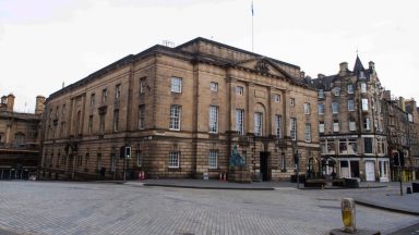
Historians in Dundee are helping the public dive into the city’s maritime past.
Dundee Libraries has made a range of online resources available to the public as part of the Dundee’s Maritime Pasts and Futures project.
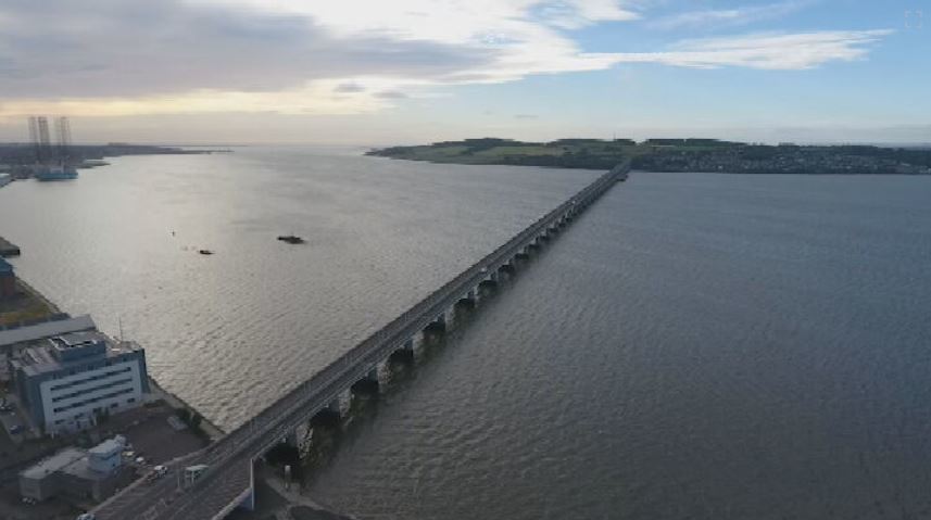
The initiative, led by the Libraries’ Local History Centre team, explores how the River Tay helped to form once prominent industries, like whaling and jute. But also, the role people played in shaping the river.
The Tay is Scotland’s longest river, flowing a 119-mile course from Ben Lui in the Highlands towards the Firth of Tay, where it enters the North Sea.
Dundee has grown around it, from early fishing settlements by the Stannergate to the city we know today.
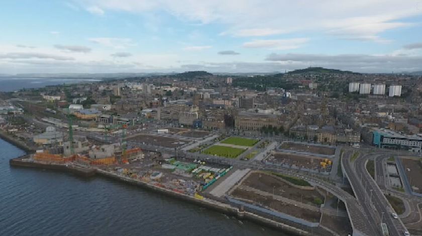
More recently, Dundee’s waterfront has undergone mass transformation with a £1.6bn regeneration project.
The removal of the ‘concrete jungle’ allowed for new developments.
But in the past, this land wasn’t always here, and beneath it lies a maritime industry from a bygone era.
 STV News
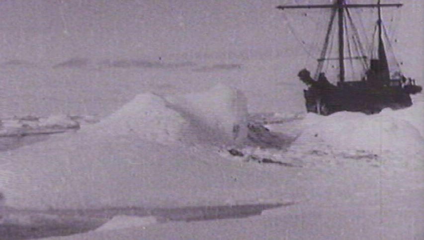
Local historian Erin Farley told STV News: “The River Tay has gone on to really shape Dundee as an industrial city. So, one of the key things we’re looking at in this project is the history of whaling ships going out of Dundee, towards the arctic.”
From the mid-18th century whaling was a vital source of income for the city, with men risking their lives, as they travelled to hunting grounds in the arctic.
 STV News
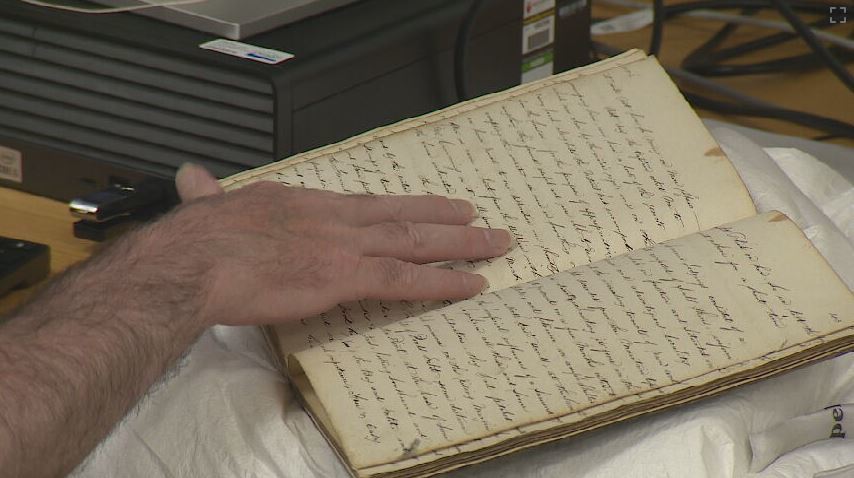
Dundee’s Maritime Pasts and Futures project is currently transcribing a logbook from a whaling ship in 1861, written by Alexander Smith on the S.S. Camperdown.
 STV News
Project volunteer Stuart Will has digitised the book from microfilm and completed a full transcription of the first voyage, a sealing trip to Greenland.
Stuart said: “My most recent bit is when they’ve actually started to catch whales and it shows you how dangerous the job actually is, and men who’ve been falling in the water and other men, the harpooners making sure the coiled ropes, as the whales start to dive, don’t drag the men underneath.”
The city’s growth has also changed the shape of the riverbank, as people have built out into the river to make land for the railway and to construct docks which have later been filled in.
 STV News
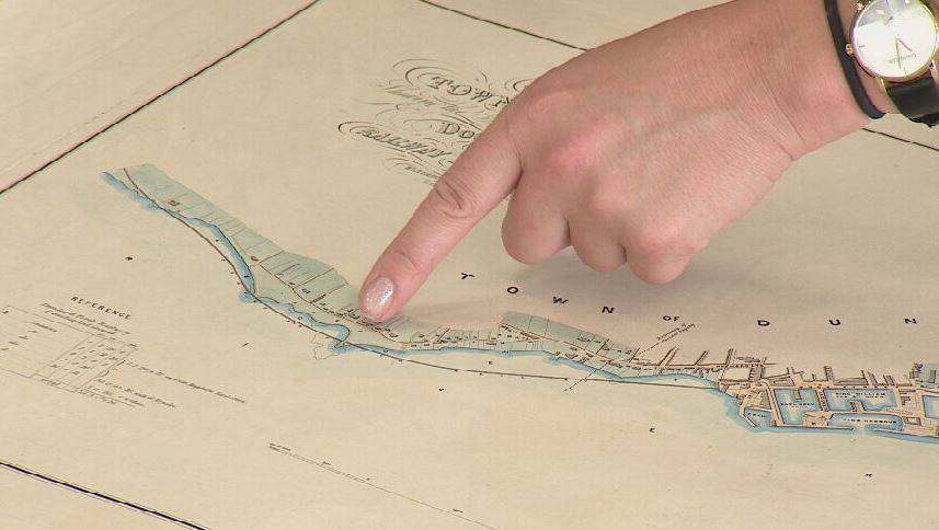
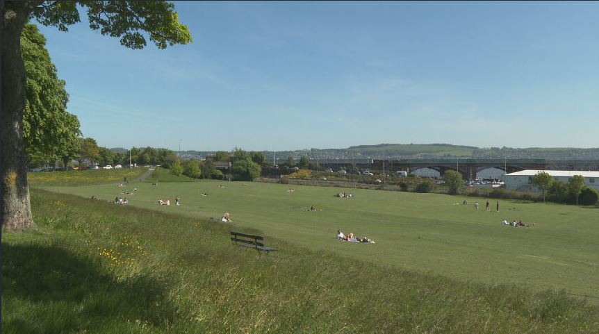
Explaining a map of a proposed railway line in Dundee, Erin said: “This is a map from 1846 which shows the original shoreline which as you can see has magdalen green right up against the River Tay, and it shows the railway that was constructed along the side of Magdalen Green and into the docks as well.
“So that’s a good way of getting a sense of just how much water has been built out into and reclaimed here.”
 STV News
After the mid 1880s Dundee was the only remaining whaling port in the UK.
Ships were being lost in the arctic and the industry was on its knees with declining whale numbers.
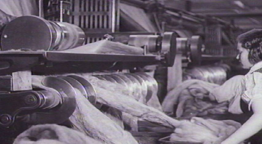
But the textiles industry threw the city a lifeline, and Dundee was set on the path to become the jute capital of the world.
 STV News
Erin added: “The whaling industry became really tied into the jute industry as well. So, the whale oil that these ships were bringing back was then going into the jute processing.
“It all combines to make a combination of factors that shaped Dundee.”
Predictions suggest the next 100 years will see further dramatic changes along Dundee’s waterfront, as sea levels rise and some of the reclaimed land returns to the water.
Erin hopes the project inspires conversation about the city’s past and future and aims to take the project to schools in the coming months.
Follow STV News on WhatsApp
Scan the QR code on your mobile device for all the latest news from around the country


