 iStock
A yellow weather warning has been issued for the North East of Scotland with heavy rain set to continue.
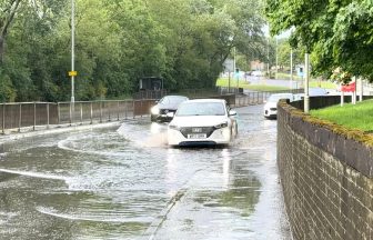
A Met Office warning, covering Perth and Kinross, Angus, Aberdeen and Aberdeenshire, is in force until 9am on Sunday.
The area could also experience disruption and flooding due to recent downpours, with some areas seeing rainfall of up to 30mm.
“This rainfall will combine with melting of lying snow, which will further add to the flood risk and saturation of the ground”, the Met Office has said.
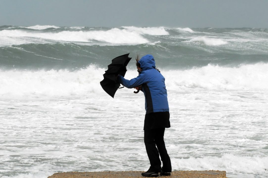
It is the latest in a series of weather warnings issued by the Met Office in the north of the country, with much of Aberdeenshire and Angus experiencing twice the normal amount of rainfall in January – the wettest since 2016.
Last month was the area’s ninth-wettest January on record, dating back to 1836.

Insight Sean Batty STV Weather Presenter
The culprit has been a large, stubborn high-pressure system over Scandinavia, which has blocked weather fronts from clearing eastwards into the North Sea.
Instead, they’ve stalled over Aberdeenshire, bringing what has felt like relentless cloud and rain. This high pressure has also locked us into an unusual easterly airflow for weeks.
As a result, the west – particularly the north-west Highlands – has been far drier than normal, with Loch Glascarnoch receiving only around a quarter of its average January rainfall.
Unfortunately for Aberdeenshire and Angus, there’s little immediate relief on the horizon. The airflow shows no sign of changing anytime soon, meaning further rain and snow in the coming days.
It’s only when the intense cold and high pressure over Norway, Sweden and Finland finally shift that this pattern is likely to break.
Follow STV News on WhatsApp
Scan the QR code on your mobile device for all the latest news from around the country