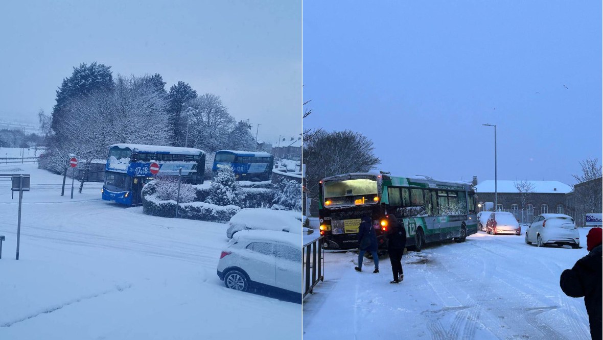
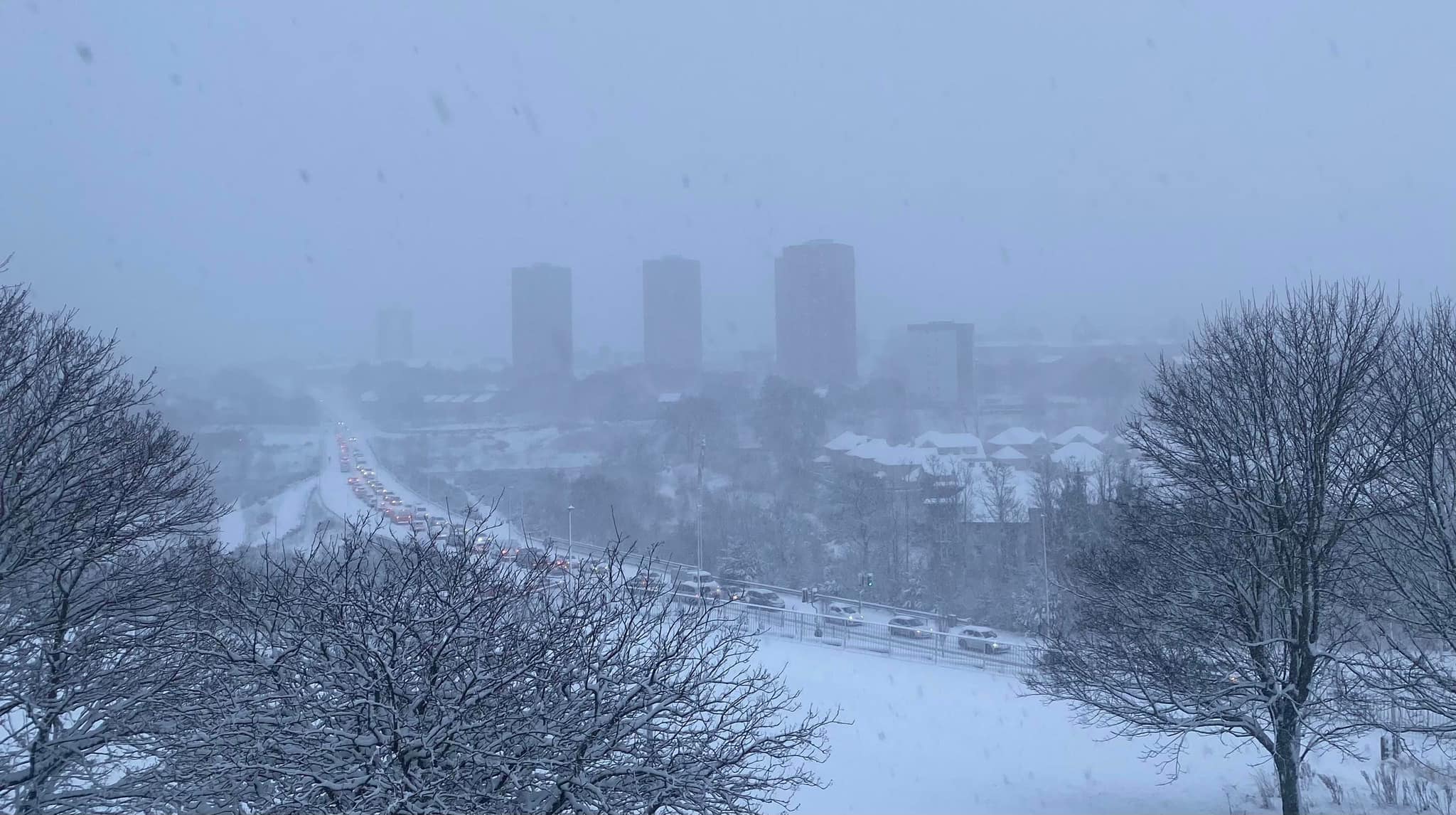
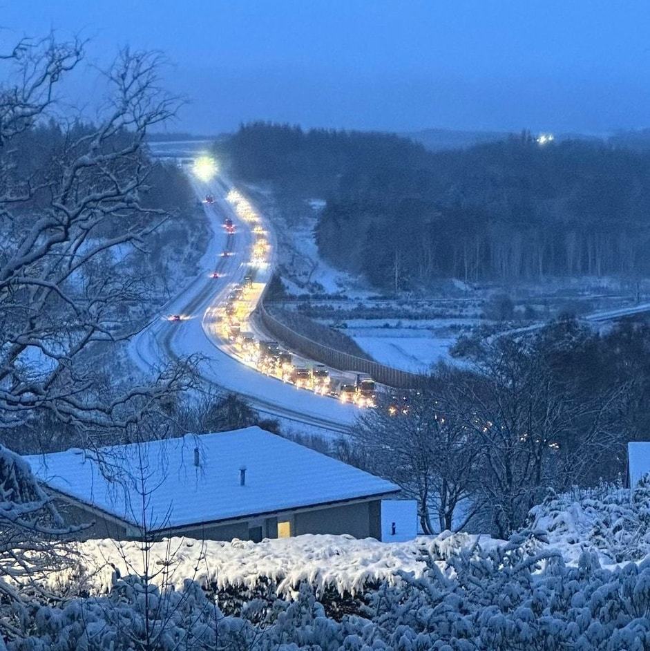
Commuters and schoolchildren in northern Scotland faced major disruption on Tuesday morning as the region was hit by a blanket of snow.
Roads have been shut and schools either closed for the day or delayed, as wintry weather has taken hold amid yellow weather warnings.
Traffic Scotland confirmed a number of roads in the region have been closed due to snow cover, including the A93 Braemar to Spittal of Glenshee, A939 Cockbridge to Tomintoul and B974 Banchory to Fettercairn.
It also advised that the A90 from Milltimber to Goval had been closed in both directions, with conditions described as “hazardous”.
Schoolchildren in Aberdeenshire were given respite with delayed starts and closures announced early on by the council.
All north east Scotland college campuses were closed, with multiple reports of lorries, cars and buses stuck on snow-covered roads.
 Fubar News
Orkney Islands Council announced in a social media post that transport operator JD Peace was advised not to transport pupils to school, and Stagecoach said they will only service A roads throughout Tuesday.
Shetland Islands Council confirmed all schools will be closed across the isles due to “continued cold weather and risk of more snow.”
Flights to and from Aberdeen airport were also disrupted, with the runway forced to close amid the adverse weather conditions. Flights began taking off again at 8am.
 Fubar News
Weather warnings for Monday and Tuesday were issued last week, covering northern and eastern parts of the country.
Snowfall was forecast across the Western Isles, Highlands, northwest, Orkney, Shetland and down the east coast of Scotland, with STV meteorologist Sean Batty warning temperatures would plunge as low as -15C in areas.
On Monday afternoon, the Met Office additionally confirmed that central, western and southern areas can also expect to see severe snowfall.
 Fubar News
The second yellow alert will come into effect at 3am on Thursday and covers all of Scotland, with only the northern Highlands and islands excluded. The warning is in force until 6pm on Friday.
The Met Office said snow could develop quite widely as a potentially quite deep area of low pressure moves across the UK, with parts of Scotland and northern England forecast to see the heaviest snow on Friday.
Up to 10cm is expected widely, even on lower ground – with accumulations as much as 20cm forecast up north.
Higher parts of the Central Belt and the southern Highlands may see as much as 40cm of snow in places.
The Met Office said there was a chance some rural communities could become cut off, with chances of power cuts and adverse affects on other services, such as mobile phone coverage.
Drivers have been warned to take extra care with delays on roads and risk of strandings likely with rail and air travel also facing possible disruption.
Follow STV News on WhatsApp
Scan the QR code on your mobile device for all the latest news from around the country


