A “danger to life” warning has been issued as Scotland is set to be hit by a winter weather bomb.
The Met Office has issued a yellow weather warning beginning at midnight on Friday as very strong winds are expected to disrupt the country.
The warning expires at noon on Saturday and covers most of Scotland.
A deep area of low pressure is expected to pass close to or across the northwest of the UK on Friday and Saturday.
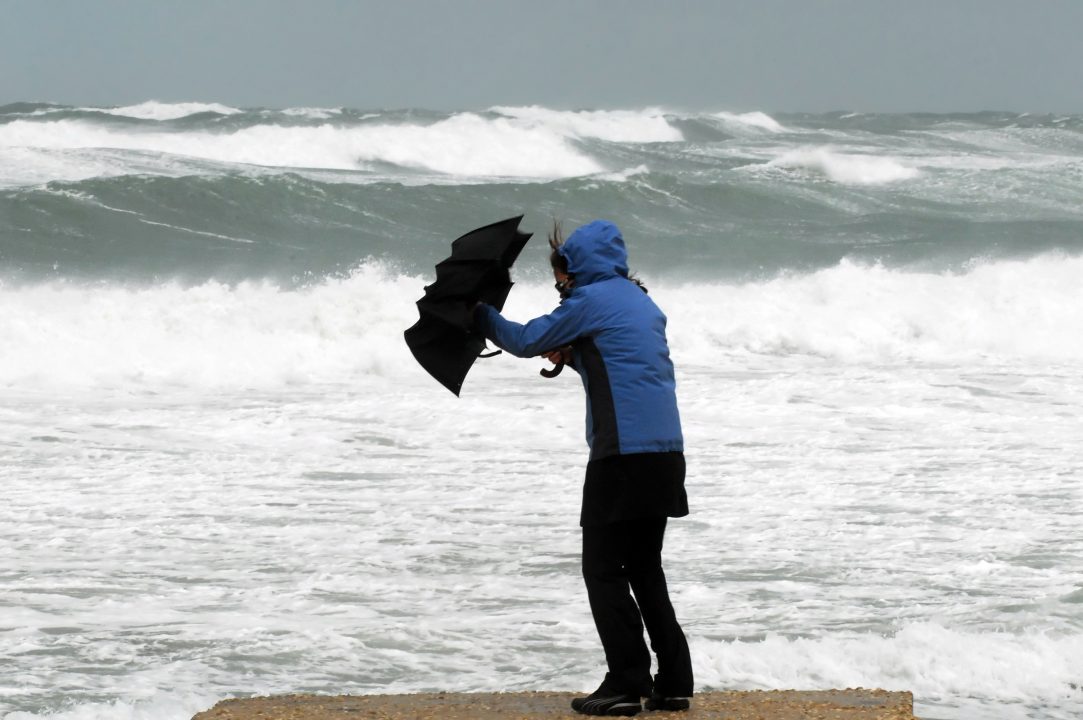
It will bring a spell of very strong southeasterly to southwesterly winds with gusts reaching 50-60 mph inland and 70-80 mph along coasts, the Met Office said.
Forecasters warned that flying debris, large waves, and beach debris thrown onto seafronts, coastal roads, and properties could cause injuries and danger to life.
Road, rail, air, and ferry services may also be affected, with longer journey times and possible cancellations.
It comes as an explosive cyclogenesis, also known as a weather bomb, is forecast to hit Scotland.
What is explosive cyclogenesis?
Explosive cyclogenesis – sometimes informally known as ‘bombogenesis’ or a ‘weather bomb’ – is the name given to a rapidly deepening area of low pressure – deepening at least 24 millibars in a 24-hour period – and is often associated with major winter storms.
How often does explosive cyclogenesis happen?
Only two or three times each winter, but rarely so dramatically.

Insight Philip Petrie STV weather presenter
When the Met Office issues a weather warning five days in advance, it’s a sign that we should be aware and keep an eye out for what’s on the horizon.
In the past hour a wind weather warning was released covering parts of Perth & Kinross, Stirling, Moray, the Highlands, Orkney, Dumfries and Galloway, Argyll and Bute, Glasgow, Ayrshire, Renfrewshire, Lanarkshire and Dunbartonshire.
This warning comes into effect Friday at midnight and runs until Saturday midday and inland we could see gusts of 50-60mph and around western coastal parts gusts of possibly 70-80mph.
Because this warning has been issued so far in advance, it will likely be updated over the coming days as things become clearer and more confidence is issued, so it is advised we keep an eye on the Met Office website and to our STV forecasts throughout the week.
What is causing the strong winds and why do we have such advanced concerns? It’s all thanks to a very deep area of low pressure that develops quickly on Thursday thanks to a very strong Jet Stream across the Atlantic forcing it quickly towards the UK.
There’s a very tight squeeze of the isobars around this low pressure, which indicate very strong winds but along with this a spell of very wet weather including heavy rain and also snowfall in the Highlands.
This area of low pressure hasn’t even developed yet, and likely won’t until Thursday. It’s not likely to be a record breaking deep low pressure system for Scottish standards, but it will be impactful and disruptive. So not quite a “beast from the east”, more like a “pest from the west”.
At the moment there are multiple routes the low pressure is predicted to take, but the most likely track will be up the western side of Scotland bringing with it the strong winds, but also heavy rain initially followed by frequent blustery showers.
Of course this is five days away so still a lot of uncertainty, but over the coming days confidence will grow and it may be that either the Met Office or Met Éireann naming it as a storm.
Follow STV News on WhatsApp
Scan the QR code on your mobile device for all the latest news from around the country


