Scotland is in for its first proper taste of winter this week, with snow, ice and some very low temperatures on the way.
While none of this is unusual for November, it’s quite a shift from just a fortnight ago when some places were reaching 16C.
So let’s get into the details and work out whether you’ll need the ice scraper, the snow shovel, or possibly both.
How cold will it get?
Most towns and cities will see daytime temperatures around 4C or 5C through much of the week, with nights dipping to around freezing. When the coldest air arrives on Thursday, many areas will fall below zero.
Rural areas will be much colder. Some of the typical cold spots, such as parts of South Lanarkshire, may drop to around –7C, while the south and west Highlands could fall to about –10C, especially in glens where lying snow will help temperatures tumble even lower.
Some areas are also likely to experience ice days, staying below freezing throughout the daylight hours.

How long will it last?
The deepest cold will last until the end of the week before temperatures lift a little at the weekend. However, several weather models point to another dip next week, with a return to below-freezing nights, though not quite as harsh as this week.
Looking ahead into December, the outlook is mixed. Some models hint at very cold scenarios, while others lean towards milder, unsettled conditions. It’s still uncertain whether the new month will start wintry or wet and windy.
Where will there be snow?
The Northern Isles will see wintry showers from Monday and throughout the week, with some heavy snow showers likely on Tuesday, Wednesday and Thursday.
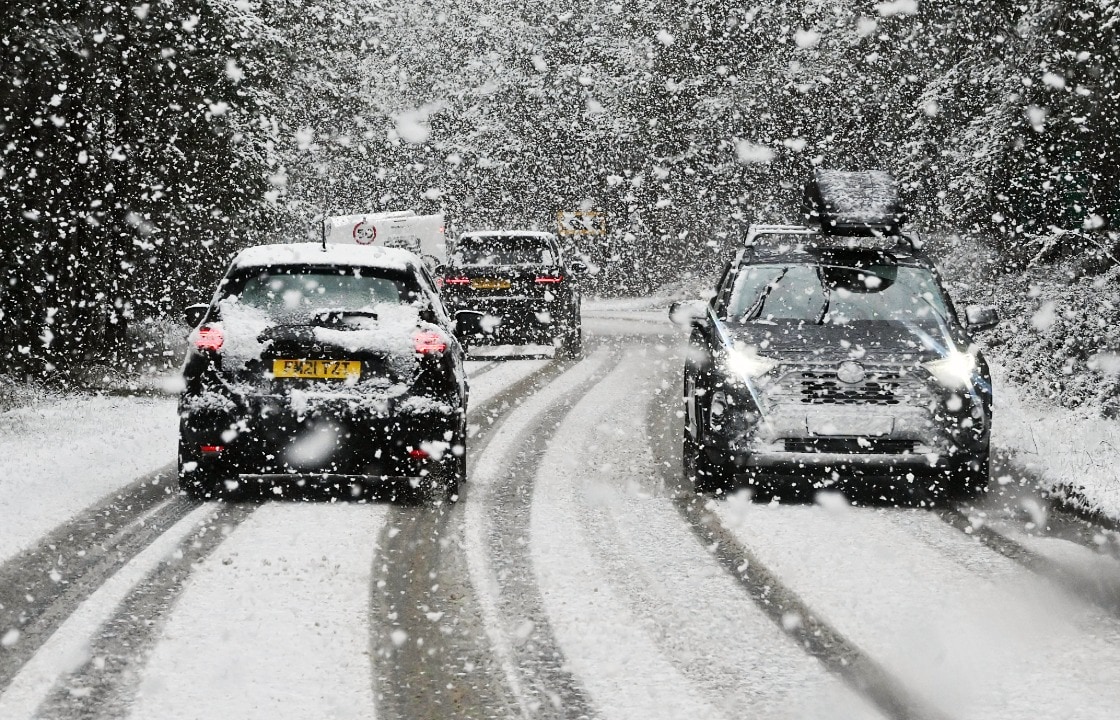
The most widespread spell of snow arrives on Tuesday as a band of rain and hill snow moves in from the west.
Low-lying areas of Ayrshire, Glasgow, Renfrewshire, Dunbartonshire and Argyll & Bute will mainly see rain and sleet.
Higher ground, including East Kilbride, Airdrie, Cumbernauld, Whitburn and Shotts, may see a short spell of snow before it turns to sleet.
Further east across Edinburgh and Fife, some snow will fall to lower levels, though it’s unlikely to stick; higher areas such as Balerno, Penicuik, Gorebridge and Kinross may see some lying snow.
The biggest accumulations will be across the higher parts of the Borders and the Highlands, where 5 to 10 cm is possible. Higher roads such as the A9, A95, A96, A68 and A7 could see several centimetres of snow settle during Tuesday afternoon and evening.
Once this messy mix clears on Tuesday evening, things become more straightforward.
Sunshine will develop across central and southern Scotland, while snow showers continue across the north on Wednesday and Thursday.
These will be heaviest in areas exposed to the northerly flow, including the Northern Isles, Western Isles, Skye, north Highlands, Moray and north Aberdeenshire. East Lothian and the coastal Borders may also catch some flakes – some significant accumulations may develop in some areas.
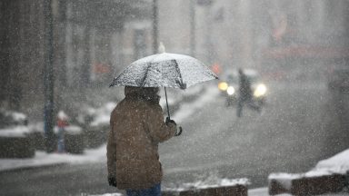
Icy roads and pavements
Icy stretches are likely over the next few days. With the sun so low at this time of year, many streets and roads see no direct sunlight at all, meaning frost and ice can linger right through the day.
A cold, wintry spell is on the way, easing a little over the weekend, but whether the cold returns next week is still up in the air.
The Met Office has issued yellow weather warnings starting from Monday night and lasting until Thursday.
Follow STV News on WhatsApp
Scan the QR code on your mobile device for all the latest news from around the country