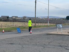
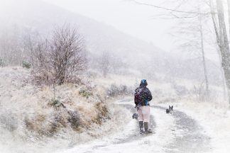
After a quiet and settled Boxing Day weather wise, it’s all change on Wednesday as Storm Gerrit makes its way across the country.
This is the seventh storm the Met Office has named since September this year, and looks set to cause a lot of disruption during the festive season.
Originally a group of low pressure systems out in the Atlantic, the decision was made to name the series of systems as a storm due to the fact there will be a lot of people travelling across the country, returning home from festive get-togethers or visiting family or friends, and the Met Office wants travellers to be aware of the unsettled conditions.
Multiple weather warnings are in force at the moment, or are due to come into effect later on Wednesday, for wind, rain, wind and snow and rain and snow, covering much of Scotland.
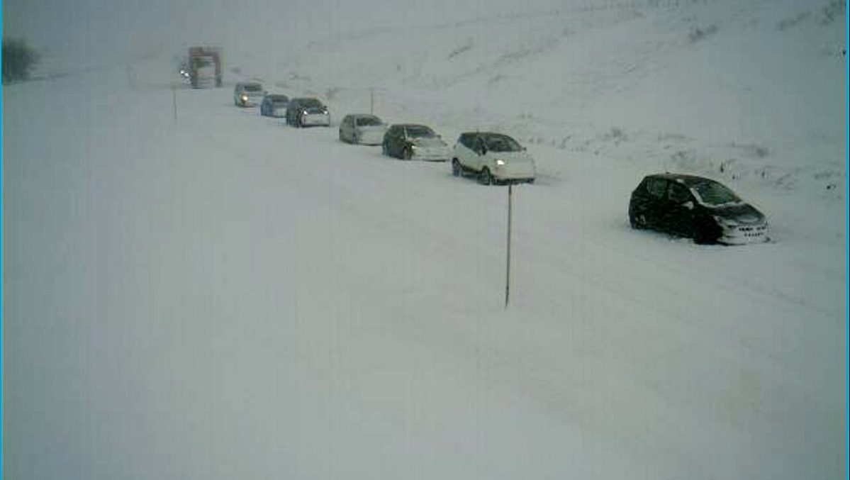 Traffic Scotland
Already gusts of 67mph have been recorded at Tiree, with flooding and surface water elsewhere and accumulations of snow on higher routes such as the A9, A82 and A85.
This is a multi-hazardous event, in so much as there are multiple causes of disruption and hazards across different parts of the country so my advice to anyone who has to travel is to plan ahead, check transport websites, check Traffic Scotland updates and be prepared to have to re-route if necessary.
Through Wednesday evening the rain continues to move north and eastwards, turning to snow across Shetland, which, coupled with the strong winds, will lead to blizzard conditions.
Behind it winds are easing for the majority of the country and we will start to see some clear spells.
Storm Gerrit sticks around until at least Friday, where it will continue to bring strong winds to Orkney and Shetland and further blustery showers, but by Friday most of Scotland will be seeing some sunny spells in the mix too.
Follow STV News on WhatsApp
Scan the QR code on your mobile device for all the latest news from around the country


 Bear NW Trunk Roads


