 Adobe Stock
Since the very hot spell a few weeks back, summer’s been pretty tame in Scotland — but that could be about to change in a big way.
Over the past few days, some weather models have been hinting at a deep low forming out in the Atlantic this weekend — something that looks way more like winter than anything you’d expect in August.
This is all being driven by a big contrast in temperatures: much colder-than-normal air parked over eastern Canada, clashing with heat building across the southern US.
That difference is helping to supercharge the jet stream over the western Atlantic, and this stronger jet could rapidly deepen a low-pressure system heading our way.
Now — and this is important — not all models agree on this setup just yet, so don’t go cancelling plans.
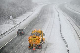
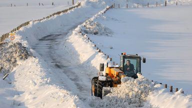
But I wanted to flag it because if it does develop the way some are showing and crosses Scotland, we could be looking at wind gusts of around 70mph in some exposed areas — which is pretty exceptional for August.
A storm like this in August could cause more disruption than it might in autumn or winter — simply because more people are travelling, and trees are in full leaf, which makes them more vulnerable to damage. Ferries could be affected, too.
The last time we had a storm like this in August was in 2016 when winds across Ayrshire, Lanarkshire and Edinburgh hit around 50mph. That storm was also responsible for the grounding of an oil rig on Dalmore Beach in the Isle of Lewis.
It’s still early days, and I can’t pin down locations or exact wind speeds just yet — but it’s definitely something worth keeping an eye on for early next week.
As always, I’ll be watching it closely and will keep you updated.
Follow STV News on WhatsApp
Scan the QR code on your mobile device for all the latest news from around the country