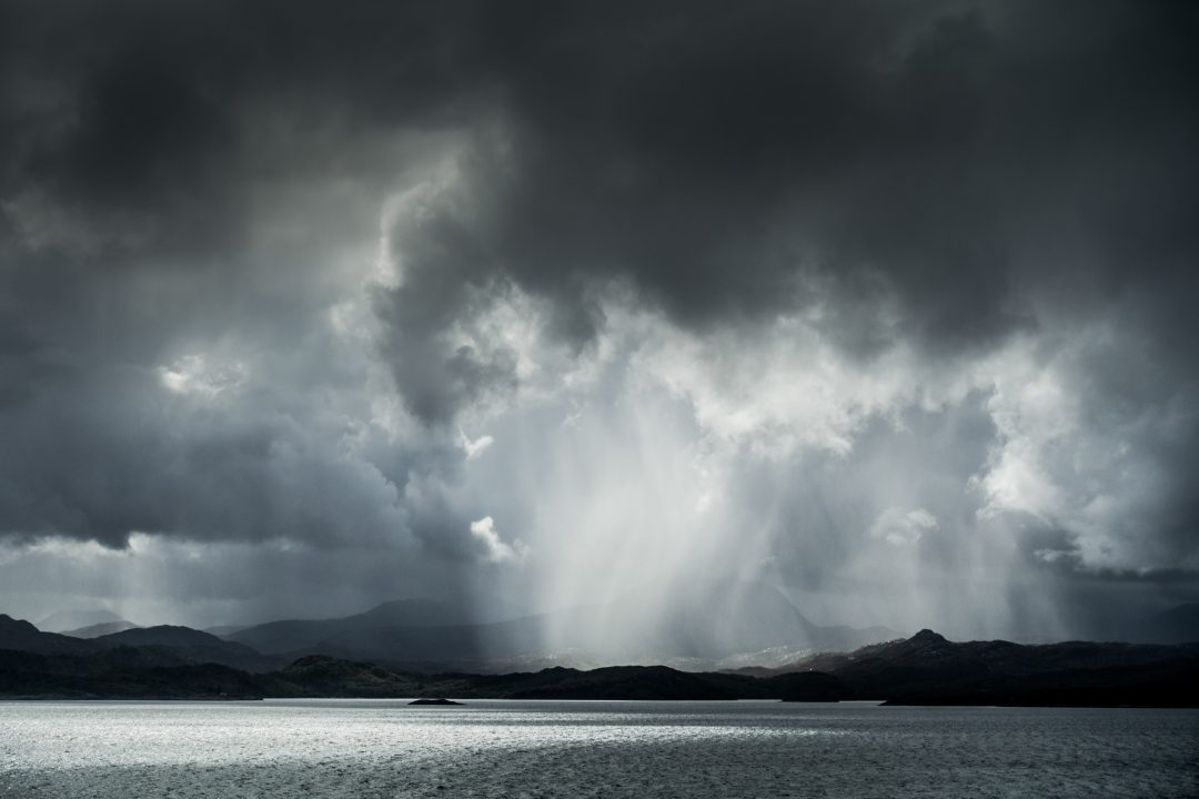
We’ve been experiencing some traditional Scottish weather recently – changeable and unsettled.
This is caused by low-pressure systems moving in from the Atlantic. It means we get a mixture of brighter spells and variable amounts of cloud and blustery, sometimes heavy and thundery showers.
Low pressure puts us into an unstable air mass, which keeps us on our toes – one minute you’re waking up to blue skies and lovely sunrises, the next minute you’re being blown sideways by an unexpected gust of wind.
The isobars around the low-pressure systems are tightly packed together so we saw strong winds on Wednesday night, and severe gales around western and north-western coastal areas.
The strong winds continued into Thursday with 50-60mph gusts likely in the north west.
Similar conditions continue on Friday and Saturday and then the next area of low pressure arrives at some point on Sunday.
Several news outlets have already been calling this system Storm Amy, but to clarify, it has not been named by the Met Office, which has said there is a 10% chance of it being named.
There is a higher chance of us seeing warnings issued over the next couple of days associated with the low pressure on Sunday. The Met Office has issued yellow alerts for south-west England and Wales over the weekend.
However, parts of Scotland saw stronger winds on Wednesday night than the winds we’re forecast to see at the end of the weekend.
So yes, we will see a deep area of low pressure affecting Scotland at the end of the weekend. But is it going to be a named storm?
Probably not, because the impacts are currently looking low, but at the moment there is still uncertainty about the low pressure’s exact track.
Follow STV News on WhatsApp
Scan the QR code on your mobile device for all the latest news from around the country