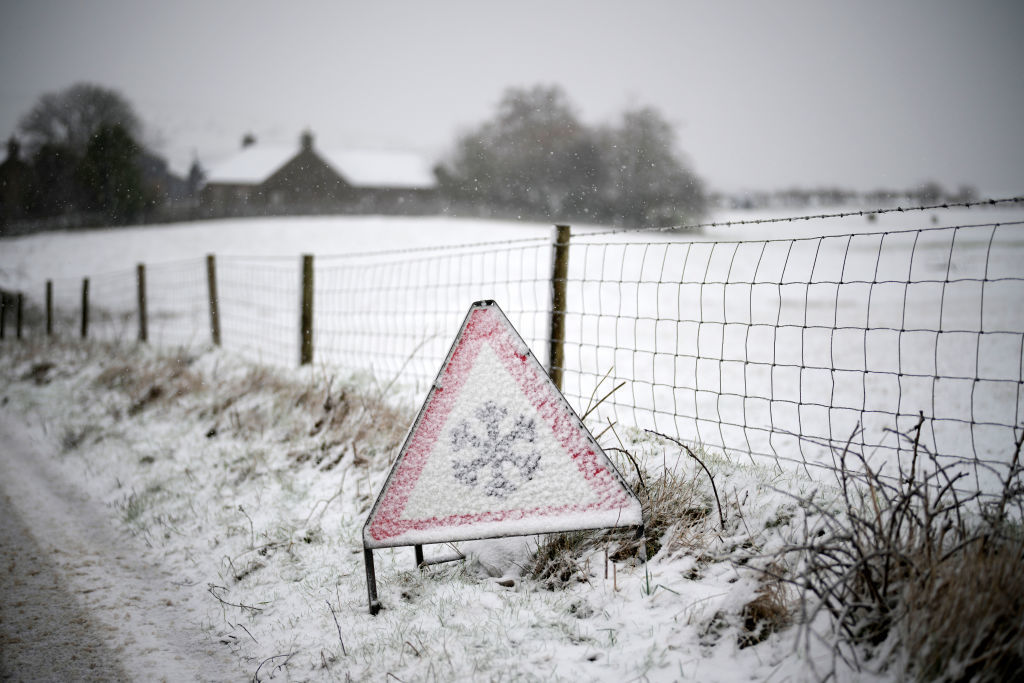
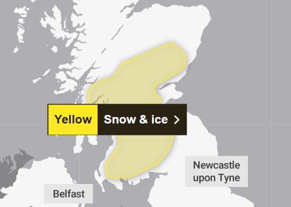
The Met Office has issued a yellow weather warning across much of Scotland.
Residents in the central belt, Tayside and the Scottish Borders have been told to expect snow flurries, which will probably turn heavier for a time, between 3am and 12pm on Tuesday.
Those in the Lowlands will likely see snowfall in the 0-1cm range, whilst 1-5cm is possible in places above 200m.
 Met Office
In the southern region freezing rain is expected, which is likely to cause icy surfaces in a few places and could make for difficult driving conditions, even on treated roads.
Some roads and railways are likely to be affected with longer journey times by road, bus and train services, especially on routes over higher ground, expected.
The weather is due to ease by Tuesday afternoon.
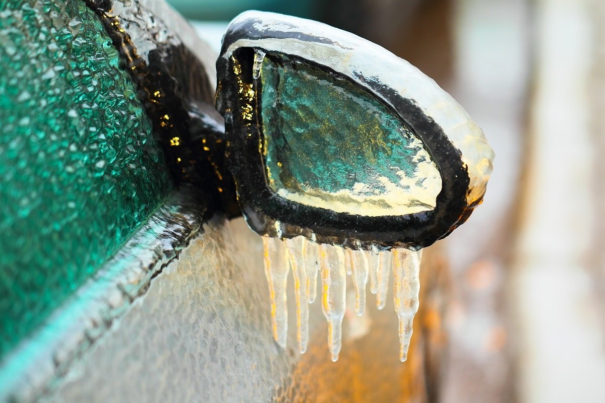
What is freezing rain?
 Met Office
Freezing rain is quite rare and only occurs when the air above is too warm for snow, but the ground is still cold, which means the rain that falls onto it turns quickly to ice.
It can produce striking effects when the raindrop spreads out momentarily across a surface before it freezes, encasing things in a layer of clear ice.
The unusally heavy weight of the ice can sometimes bring down power lines or trees – and it can turn paths and roads into ice rinks.

Insight Philip Petrie STV weather presenter
Some of us may have left the house this morning and seen some flakes of snow in the air, but it was nothing to write home about and by Monday afternoon things will be mostly dry.
Monday night things will stay dry for the majority of the country at first but then we see a more active band of rain moving in from the west, which will bump into cooler air bringing with it a more widespread risk of snow. Along with this we have the risk of freezing rain on higher ground, meaning some icy conditions on certain higher routes.
The Met Office have therefore issued a yellow warning for snow and ice which covers inland areas of Edinburgh, Angus, Fife, Perth and Kinross, Stirling, Aberdeenshire, Glasgow, Renfrewshire, Lanarkshire and Ayrshire. This is due to the fact we will see the snow flurries turning a bit heavier overnight into the early hours of Tuesday, which could lead to up to 1cm on lower levels, and up to 5cm on ground above 200m.
The main risk comes from freezing rain, which is when rain falls on cold surfaces and instantly turns to ice. This is more likely on higher routes tonight, leading to some tricky travel conditions during Tuesday morning rush hour. By Tuesday afternoon however the snow and freezing rain will ease, and conditions will improve.
Follow STV News on WhatsApp
Scan the QR code on your mobile device for all the latest news from around the country