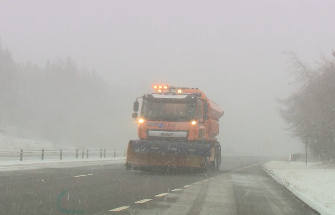
Scotland is to be hit with a blast of snow from the Arctic as weather warnings come into force.
Large parts of the country will see widespread snowfall as the Met Office issued two weather alerts over Sunday, Monday and Tuesday.
The first warning covering the north of Scotland comes into force at 4pm on Sunday and continues to 11am on Monday.
A second alert starts at 10am on Monday and covers Glasgow, Edinburgh, Stirling, and much of the south of Scotland.
It is in effect until 10am on Tuesday.
The Met Office warned there is a chance that some rural communities could become cut off and vehicles could be stranded.
The north of the country including Aberdeenshire, Moray and the Highlands showers will turn increasingly wintry with hail, sleet and snow.
Meteorologists forecast around five to 10cm is possible on high ground above 300 metres by Monday morning.
On Monday and Tuesday, areas such as Strathclyde, Central, Tayside and Fife as well as the Borders and Dumfries and Galloway will be subject to as much as 15 to 20cm above.
Power cuts and disruption to travel may occur across the country next week, the Met Office has warned.

Insight Philip Petrie STV weather presenter
After a couple of benign weeks weather wise, there is something more interesting on the horizon as our weather is set to take a turn.
This weekend things will turn a bit showery, colder and windier with snow showers predicted across the north throughout Sunday, more disruptive snow due around central and southern parts late Monday and into Tuesday leading to a wintry week of weather ahead.
Throughout Saturday we saw a couple of weather fronts pushing southwards acting as a focus of some showers, most frequent across the north. Then as the freezing level dropped last night a few of those showers turned more wintry leading to some snowfall even to lower levels across parts of Orkney, Shetland, Caithness & Sutherland and parts of the north west Highlands.
Tonight we will see a deep area of low pressure moving in across England and Wales, but on the northern edge of the low pressure it will run into colder air and bring some snow to central and southern parts of Scotland.
Already we have a yellow weather warning in place for Snow & Ice covering parts of the country, but at the moment there is still some uncertainty as to whether we will see snow around populated areas like the central belt.
Tuesday and Wednesday will be similar, cold days for all with brisk winds and frequent snow showers, particularly on higher ground, with some frosty and potentially icy nights to come.
Follow STV News on WhatsApp
Scan the QR code on your mobile device for all the latest news from around the country


