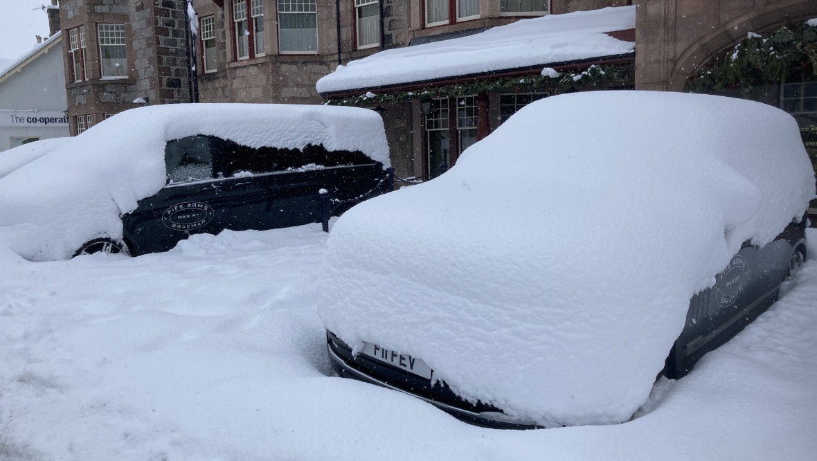
Scotland is set for another cold week with a number of yellow weather warnings in place for snow and ice.
A more serious amber warning has been issued for the central Highlands as cold air emanating from Russia and Eastern Europe moves across the UK over the coming days.
Daytime temperatures will stay in low single figures for much of the country, with some places staying below freezing and the bitter winds making it feel even colder.
STV Weather reporter Philip Petrie said: “Over the past few days we have seen a significant amount of snowfall, especially across the north and the north-east where we had an amber weather warning in place.
“That runs out at 12pm Saturday – but the snow will continue. The heaviest snow will be easing in the east, with the west of the country seeing the driest and brightest conditions over the next few days.
“At the moment we have bitterly cold easterly winds coming into Scotland – the air is coming from Scandinavia but later into Monday the wind directions changes slightly and the air comes from the Ukraine, so it stays cold all week, and significantly windy causing a severe windchill for anyone who has to be out and about.
“Wind wise we could see gusts of 40-45mph around the Aberdeenshire coast and up towards Orkney and Shetland, and widely 35mph winds across the country.”
The Met Office said the Dutch have named the low-pressure system that will bring strong winds and widespread snow – mainly to south-east England on Sunday, as Storm Darcy.
Drivers in the northwest of Scotland have been rescued from ‘waist-deep’ snow in recent days due to the severe weather conditions.
Around 20 cars and a jackknifed lorry – which sparked the chaos – were stuck on the A835 between Ullapool and Garve near Loch Droma overnight, with emergency services on the scene.
Philip said: “Through Monday to Wednesday next week, we see a repeat performance happening each day as we keep ahold of the bitterly cold easterly winds over those three days.
“There is a yellow snow and ice warning right the way through, and where the snow showers are heavy we could see up to 10cm of snow across eastern parts each day.
“Cumulatively over the three days that could be quite significant amounts piling up. Also a factor will be the strong winds, causing drifting of the snow across some roads so I imagine the gritters will be out in force.”
Follow STV News on WhatsApp
Scan the QR code on your mobile device for all the latest news from around the country


