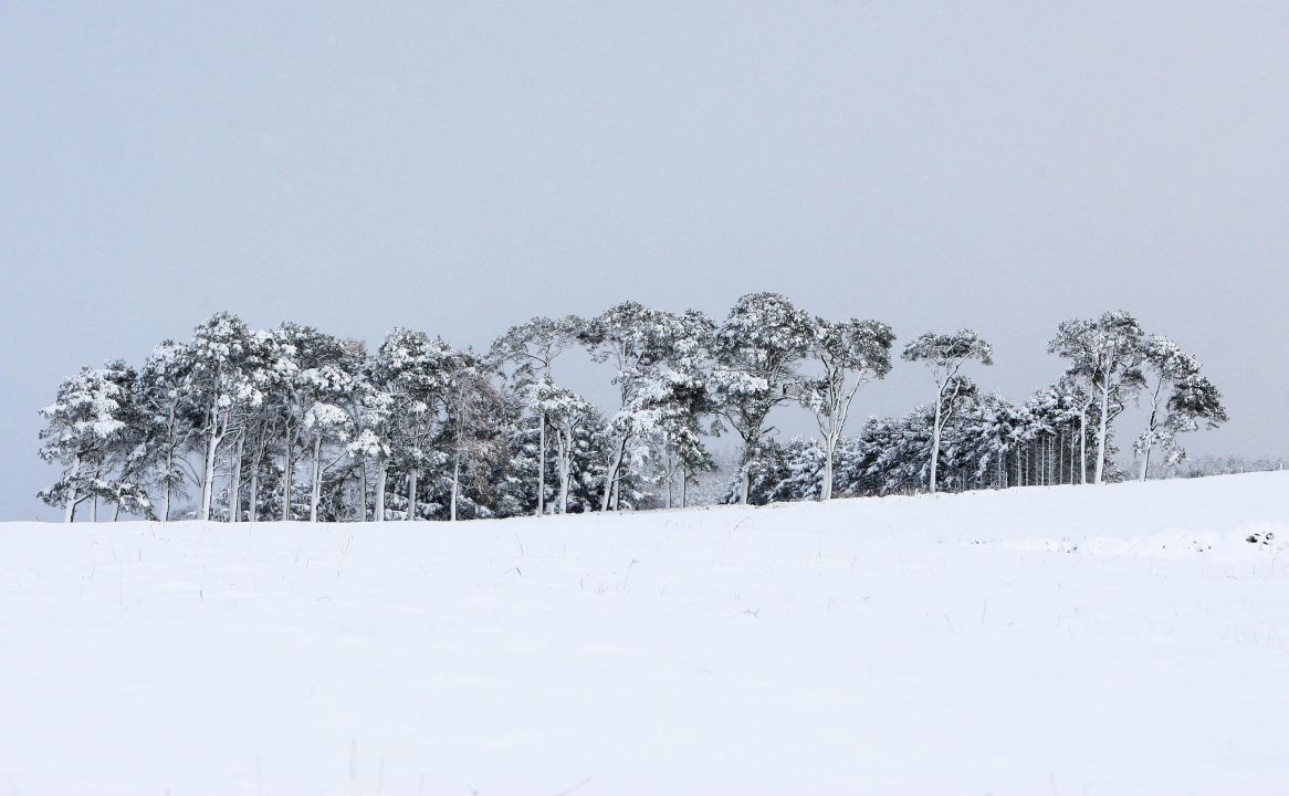
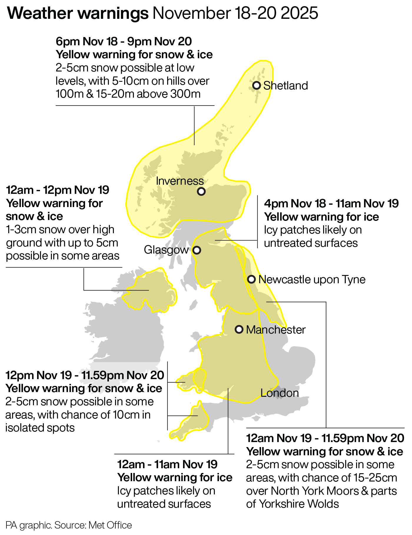
The north of Scotland will continue to face harsh weather warnings for snow and ice on Thursday, the Met Office has warned.
Much of the north of Scotland is facing a yellow warning for snow and ice, which has been in force throughout the week, and is due to end at 9pm on Thursday.
It said there would be possible travel delays on roads, delays and cancellations on public transport services, and the risk of injury because of slippery terrain is higher than usual.
 PA Media
The A90 in Aberdeen was closed in both directions between Cleanhill roundabout and the Stonehaven roundabout on Thursday morning due to snow, with reports of many vehicles stuck.
Power cuts are also possible and mobile phone signal may be affected.
Rural communities may also be cut off.
Schools in the Highlands and in Aberdeenshire have been forced to shut over the week.
Met Office chief forecaster Neil Armstrong previously said: “Cold Arctic air from the north is firmly in charge of the UK’s weather, bringing the first notable cold snap of this autumn and giving an early taste of winter weather.
“As a result, winter hazards are likely through the next few days, with snow and ice a particular hazard, and the coldest conditions likely on Wednesday and Thursday.
“Wintry showers will affect areas exposed to the brisk northerly wind, in particular Northern Ireland, south-west Wales, south-west England, north-east England and across the northern half of Scotland.
“Whilst not all places will see lying snow, where showers are most frequent accumulations of 2-5cm will be possible.
“On higher ground in Scotland 15-20cm could accumulate and potentially as much as 15-25cm over the North York Moors and Yorkshire Wolds.”
Follow STV News on WhatsApp
Scan the QR code on your mobile device for all the latest news from around the country