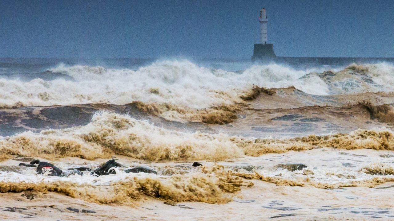
Storm Eowyn is set to batter Scotland with 80mph winds as the Met Office names the first storm of 2025.
It comes after the Met Office issued a yellow weather warning beginning at midnight on Friday as very strong winds are expected to disrupt the country.
The warning expires at 11.59pm on Friday and covers the whole of Scotland.
A second weather warning comes into place for northern parts of Scotland at midnight on Saturday.
Storm Eowyn is the fifth name storm of the season after Storm Darragh brought strong winds and snow to parts of the UK.
Storm Eowyn is named after the same character in the famed Lord of the Rings series by JRR Tolkien.
A deep area of low pressure is expected to pass close to or across the northwest of the UK on Friday and Saturday.
It will bring a spell of very strong southeasterly to southwesterly winds with gusts reaching 50-60 mph inland and 70-80 mph along coasts, the Met Office said.
Forecasters warned that flying debris, large waves, and beach debris thrown onto seafronts, coastal roads, and properties could cause injuries and danger to life.
Road, rail, air, and ferry services may also be affected, with longer journey times and possible cancellations.
It comes as an explosive cyclogenesis, also known as a weather bomb, is forecast to hit Scotland.
What is explosive cyclogenesis?
Explosive cyclogenesis – sometimes informally known as ‘bombogenesis’ or a ‘weather bomb’ – is the name given to a rapidly deepening area of low pressure – deepening at least 24 millibars in a 24-hour period – and is often associated with major winter storms.
How often does explosive cyclogenesis happen?
Only two or three times each winter, but rarely so dramatically.
Follow STV News on WhatsApp
Scan the QR code on your mobile device for all the latest news from around the country


