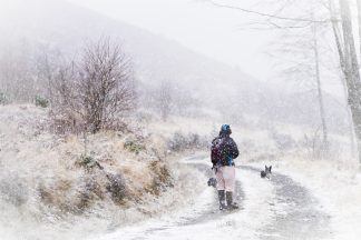
It’s just over two weeks since we had our last cold spell when temperatures hit -15C in the Highlands and I was in snow buried Ullapool where we had over 50cm in some spots.
Now we’ve got weeks of rain, strong winds and storms out of the way we’re heading for our second cold snap of the season with more snow on the way for some parts of the country.
Though this is nothing out of the ordinary for winter in Scotland, we’ve had some exceptional temperatures recently. The north Highlands reached a new UK January record high of 19.9C just last weekend, but by next weekend we could see a return to -10C.
The real nosedive in temperature next week will come on Tuesday and into Wednesday with temperatures going from around 12C on Tuesday to 5C on Wednesday. Snow will initially affect the Northern Isles, but winds looks like going more easterly as a low pressure system approaches from the south and this could see sleet and snow falling more widely in the east later in the week.
Being honest with you, pressure systems spinning into cold air are a complete nightmare because the track is very difficult to get right, and depending on how far they move in, they can also pull much warmer air into the equation and turn snow to rain – exactly what happened when it all went a bit wrong in the central belt a few weeks ago. So, with that in mind, somewhere in the east of the country could experience heavy snowfall at the end of next week and weekend, but with the caveat that this is open to change closer to the time.
While details on snowfall are unreliable at this stage, what I can say is it will feel a lot colder by this time next week and some spots could be in for disruptive snowfall – watch this space.
Follow STV News on WhatsApp
Scan the QR code on your mobile device for all the latest news from around the country


