I’ve been warning for a few weeks now that it looked like cold conditions would develop into March after a sudden warming of the air high over the Arctic in February.
Meteorologists look out for this warming phenomenon every winter, although it doesn’t happen every year, but is a great indicator that cold conditions may develop a few weeks later.
This is called sudden stratospheric warming, and when this occurs, the air between ten and 30 miles above the Arctic can explosively warm by as much as 50 degrees in just a few days.
Now here’s the bit you’ve probably heard of – the polar vortex. A term which is often used, wrongly, in headlines to make cold spells sound more, ermmm… juicy and dramatic. It’s also not a spinning hurricane of snow and ice which sweeps across the globe, as I’ve seen in some graphics before – that’s called clickbait.
What does happen, though, is a breakdown in the polar vortex over the pole, and it’s this vortex which acts like a wall, keeping the cold air locked in.
So, when this starts to break down, it’s like pulling a plug in the bath and suddenly the cold air is on the loose and escapes south. As the cold air drains out of the vortex, warmer air comes in to replace it, and that’s how the sudden stratospheric warming occurs.
After a week of quiet largely dry weather, with spring-like conditions in the west, the breakdown of the polar vortex begins to show its hand here in Scotland, and it could be quite an extreme gear change.
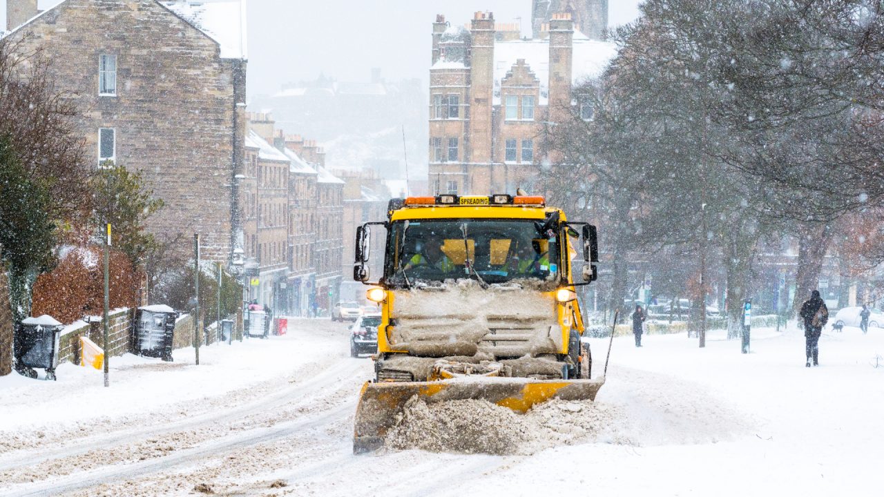
Next week we go into cold northerly winds, which will bring frequent heavy snow showers to the north and east, but with the risk of some longer spells of snow anywhere later in the week.
One of the biggest shifts will be our temperatures with high this week hitting double digits in the west, but by mid-week next week, we could be looking at minus double digits in the Highlands, perhaps as low as -15C in a few spots.
How long will it last? Well, forecasting the arrival of these colder conditions is always a lot easier than telling you when it will move away. Once this cold air is in place, it can be very hard to shift.
At this stage the very cold conditions are likely to still be with us until around the middle of the month, but beyond that it’s very tricky to say. But, when the big transition to milder conditions does come, there could be another spell of snow during that change.
So, while meteorological spring has sprung (March 1), Mother Nature is certainly going to remind us we’re still in the depths of winter next week.
Follow STV News on WhatsApp
Scan the QR code on your mobile device for all the latest news from around the country


