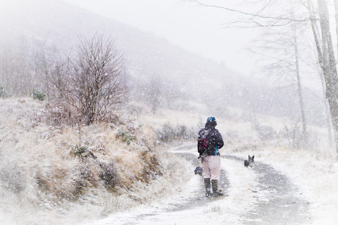
Parts of Scotland are expected to see snow showers on Friday, after blustery conditions hit much of the UK on Thursday.
The Met Office has issued a yellow weather warning for snow and ice for Friday morning, covering an area north of Stirling and around Fort William.
Up to 5cm of snow is expected across the region, with 10cm possible on higher ground.
A Met Office forecaster said: “Blustery wintry showers will affect central and north-west Scotland during Thursday afternoon and evening but are expected to become more frequent during the second half of the night before easing on Friday morning.
“Two to 5cm of snow is expected fairly widely across the area, with 10cm possible in places above about 350 metres.”
The snow and ice warning is in place until 9am on Friday. There may be travel disruption in the area as well as icy surfaces.
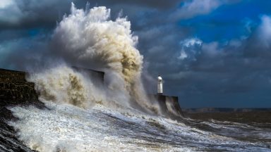

It comes amid strong winds causing travel disruption in many parts of the country where a weather alert warning of gusts of up to 70mph is in force.
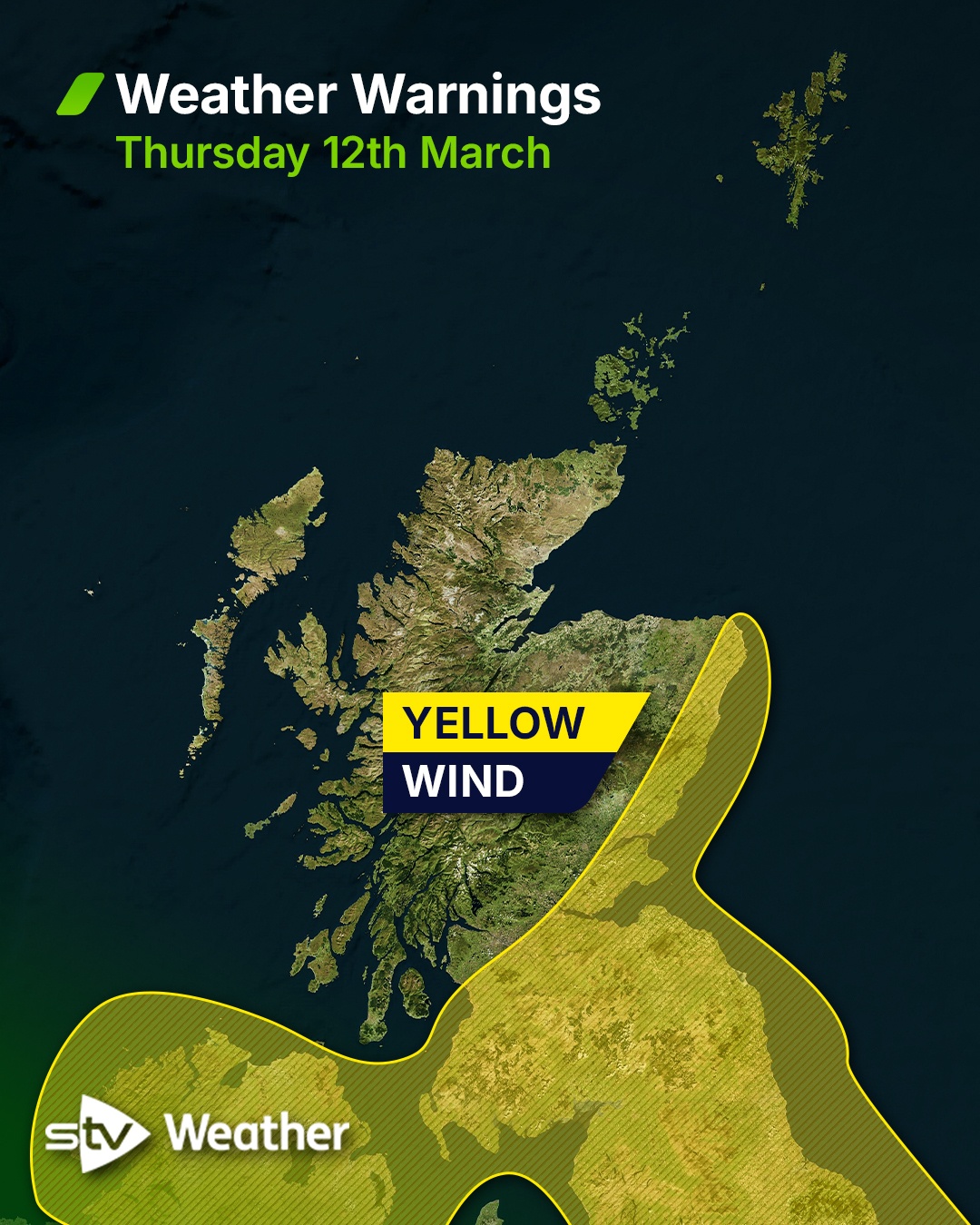
The Met Office issued a yellow warning of wind in southern, central, eastern and north east Scotland on Thursday.
STV meteorologist Sean Batty said that gusts of 50-55mph are expected widely, while some coastal areas and places downwind of high ground could see gusts of 60mph or even 70mph in a few places.
 STV News
Forecasters have warned of potential delays to road, rail, ferry and air transport and said there may be some short-term loss of power and other services.
ScotRail warned passengers that journeys may take a little longer as Network Rail Scotland has put speed restrictions in place on some routes due to adverse weather.
Speed restrictions are in place on the West Highland Line, the Highland Main Line and the Far North and Kyle Lines.
Some Caledonian MacBrayne ferry services on Scotland’s west coast have been disrupted due to adverse weather.
In Aberdeenshire, the A90 was blocked in both directions at Fordoun due to a fallen power line, which was lying across both the north and southbound carriageways, Amey North East Trunk roads said.
The warning is in place until 8pm on Thursday.

Insight Sean Batty STV meteorologist
Gusts of around 50mph will be fairly widespread.
There’s also a small risk of gusts reaching 60–70mph in some coastal areas and in locations downwind of hills and mountains, where turbulent winds can accelerate as they descend.
That means parts of Aberdeenshire, Angus and the Borders could experience some particularly strong gusts for a time.
Some bridge restrictions are likely on Thursday, particularly on the Tay, Forth, Kincardine and Clackmannanshire bridges.
For most areas, the strongest winds are expected during the morning and early afternoon before gradually easing later in the day.
Although the main focus of the warning is further south this time, strong winds will still affect northern areas and may disrupt some ferry routes.
Conditions look quieter on Friday and Saturday, but another spell of strong winds is expected on Sunday, which could bring further travel disruption.
Follow STV News on WhatsApp
Scan the QR code on your mobile device for all the latest news from around the country