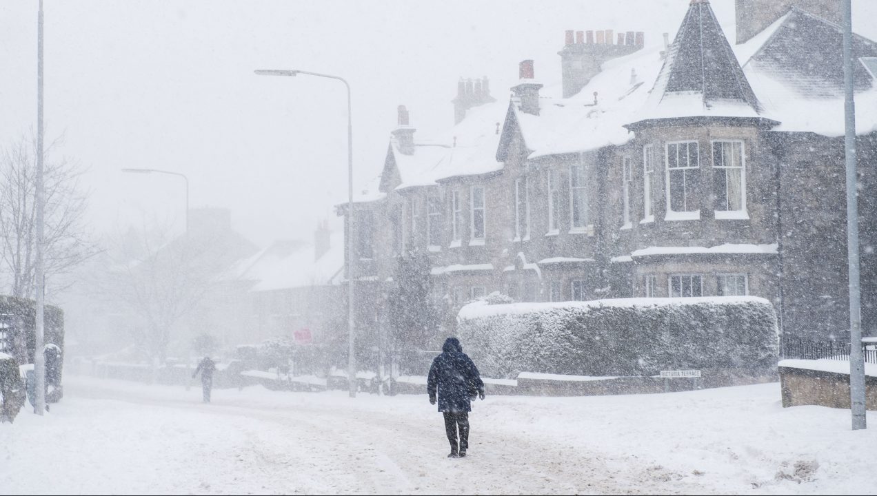
Heavy snow is set to batter parts of Scotland this week as forecasters issue a five-day weather warning.
Several yellow warnings for snow and ice have been put in place for areas in central, southern and northern parts of the country between 10pm on Monday and 6am on Saturday.
The southern Grampians, Inverclyde, and Arran are among areas set to see the worst of the conditions with a high risk of blizzards in some places.
Several centimetres of snow can still be expected in low levels although the main risk is for areas with a little height.
STV Meteorologist Sean Batty said Scots should prepare for a week of severe weather with many areas seeing the “most significant” snowfall of the season so far.

He said: “I’ve been saying since the new year that I thought this would turn out to be a lengthy spell of cold weather, and it’s going to continue for a good while longer.
“Most computer models continue to show high pressure either to the north or north east of us, which basically means Scotland will remain in a predominantly north to north easterly air flow – cold.
⚠️Yellow weather warning updated⚠️
— Met Office (@metoffice) February 1, 2021
Snow and ice across northern England, southern and central Scotland
2200 today to 2359 Tuesday
Latest info 👉 https://t.co/QwDLMfRBfs
Stay #WeatherAware pic.twitter.com/HZ4ibShtut
“Now, while we’ve had snow on and off over the last few weeks, I think the snow that falls this week could be the most significant of the season so far.
“Some patchy rain and snow will fall in central and southern areas through this evening and overnight.
“At low levels this will fall as rain and sleet at first, but is likely to turn to snow at least for a time before turning back to a more sleety mix on Wednesday. This is however not the main snow event, that’s Tuesday morning.
‘I think the snow that falls this week could be the most significant of the season so far.’
STV Meteorologist Sean Batty
“A band of heavy sleet and snow will move north in the morning with several centimetres even possible to low levels in some central areas, although the main risk is for areas with a little height.
“That means our usual spots such as Shotts, East Kilbride, Newton Mearns, Fintry, Kilmacolm, West Calder, Penicuik and Cumbernauld are most likely to wake up to snow.
“The heaviest falls look as though they will be in the southern Grampians, Clyde Muirshiel in Inverclyde, and Arran.
“These things always have to be treated with great caution in marginal situations like this, as slight changes in wind direction, position of the weather front or a temperature a degree higher than expected could completely change what we get.
⚠️ Yellow weather warning issued ⚠️
— Met Office (@metoffice) February 1, 2021
Snow across central and northern Scotland
Thursday to Saturday
Latest info 👉 https://t.co/QwDLMfRBfs
Stay #WeatherAware pic.twitter.com/orcFd1wTQl
“However, given this has now been indicated on several model runs now, we must be prepared for this outcome and the possibility that some areas in Arran could become cut off.
“Those in Arran will remember the snow of March 2013 and the havoc that caused, so it’s one we need to watch carefully.
“Milder air will get into central and southern Scotland, so here there will be rain at low levels on Tuesday afternoon and evening which should thaw some of the snow where we’ve got it.”
‘While heavy rain can be expected in the south, the snow that continues on higher ground in the north will likely drift in these strong winds and also lead to blizzards.’
STV Meteorologist Sean Batty
Sean says by midweek the focus will move to Perthshire, northern and western Angus and west Aberdeenshire where snow will set in. The snowfall will continue until the end of the week, but turn heavier.
He added: “I reckon that upper Deeside and eastern Grampians are at risk of around 50cm of snow by Friday. This again could lead to a situation where some areas become cut off.
“While heavy rain can be expected in the south, the snow that continues on higher ground in the north will likely drift in these strong winds and also lead to blizzards.
“All in all this is going to be a week of severe weather and my best advice is to watch for forecast updates and if you’re in the areas mentioned be ready for hazardous conditions.”
Follow STV News on WhatsApp
Scan the QR code on your mobile device for all the latest news from around the country


