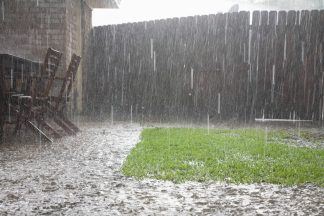
As we head into the weekend, we see the arrival of our second storm of the season, Storm Bert, named by Met Eireann, on Thursday.
Initially, the strongest winds will be offshore Saturday morning before things turn increasingly windy across Scotland throughout the morning.
Our first warning comes into effect at 4am for rain and snow, which covers the vast majority of the country. This is to warn of the band of heavy and persistent rain that Storm Bert brings with him first thing Saturday morning.
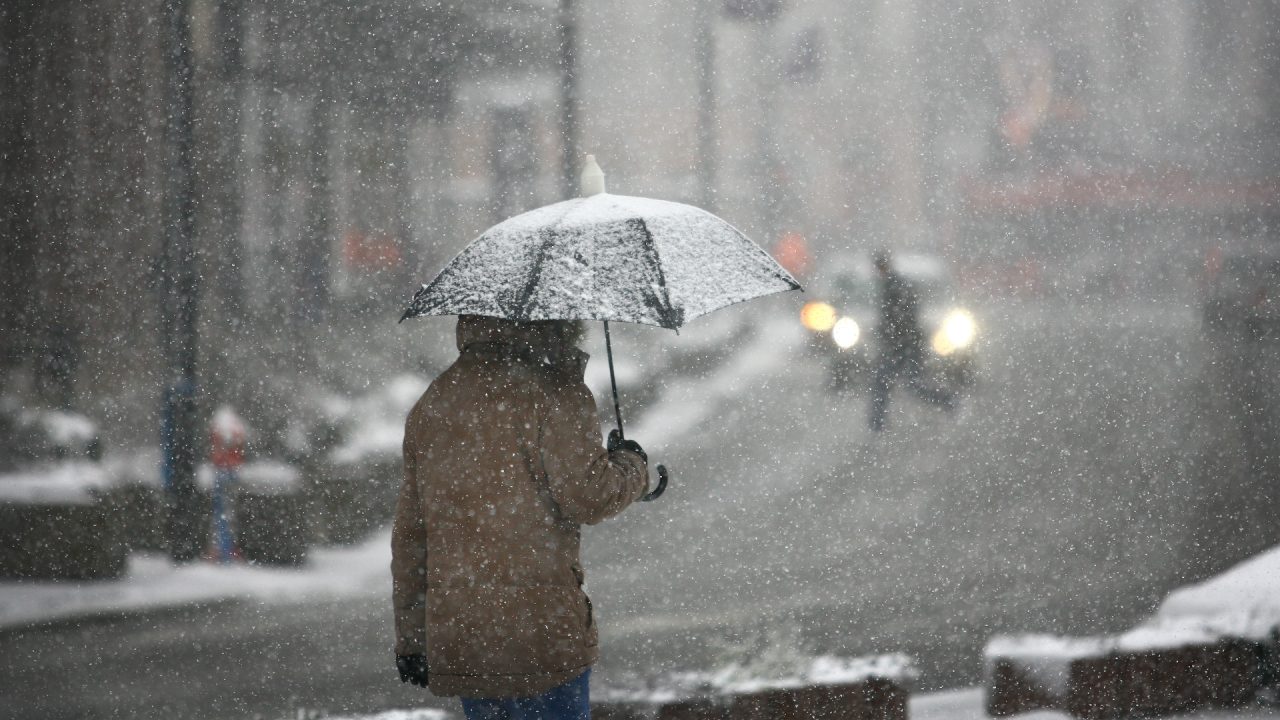
As the rain bumps into the cold air we have across the country, it will turn to snow for around two to four hours before rapidly melting and turning to rain for the rest of the day.
We will see some significant snowfall throughout the morning, with accumulations on higher ground, but even down to some low levels, we could see 2-3cm.
As the storm progresses and milder air moves in, any precipitation we see through the afternoon will mostly be rain.
At 5am, our second warning comes into effect, a yellow warning for strong winds covering western and eastern coasts. We will likely see gusts of up to 60-70mph on exposed coasts and higher ground throughout the day.
Then at 7am, our most significant warning begins, an amber warning for snow and ice covering Angus, Aberdeenshire, Perth & Kinross and parts of the Highlands and Argyll & Bute.
Within this area is where we will see the most impactful and disruptive snowfall, strong winds, ice risk and also the chance of freezing rain.
But that’s not to say you won’t see hazardous conditions outside of this warning area.
Storm Bert sticks around throughout Sunday and Monday before finally starting to clear away come Tuesday morning, with things turning more settled on Tuesday however, it will be turning colder once again.
Follow STV News on WhatsApp
Scan the QR code on your mobile device for all the latest news from around the country


 iStock