Latest updates
-
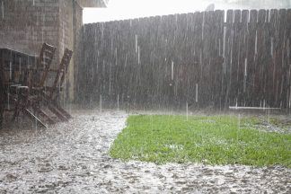
 Storm Eowyn is set to bring winds up to 90mph
 - An amber warning is set to come into force at 6am on Friday and will expire at 9pm
- Additional yellow warnings for snow and wind have also been issued
- Forecasters warned that flying debris could cause injuries and danger to life
- Police warn motorists to avoid unnecessary journeys and consider delaying travel plans
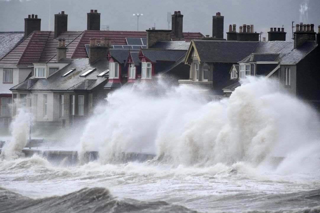
The Met Office has issued an upgraded weather alert as Storm Eowyn is set to batter Scotland with 90mph winds in the first storm of 2025.
An amber warning is set to come into force at 6am on Friday and will expire at 9pm.
The warning covers central Scotland, Aberdeenshire, Dumfries and Galloway, Fife, the Highlands, Tayside, Strathclyde, and the Scottish Borders.
Additional yellow warnings for snow and wind have also been issued, the first of which comes into force at midnight on Friday.
Storm Eowyn is the fifth named storm of the season after Storm Darragh brought strong winds and snow to parts of the UK in December.
Storm Eowyn is named after a character in the Lord of the Rings series by JRR Tolkien.
The storm will bring peak gusts of 60-70 mph fairly widely inland, 70-80 mph in some areas, and 80-90 mph along more exposed coasts and hills, the Met Office said.
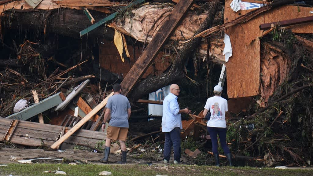
Forecasters warned that flying debris, large waves, and beach debris thrown onto seafronts, coastal roads, and properties could cause injuries and danger to life.
Road, rail, air, and ferry services may also be affected, with longer journey times and possible cancellations.
Police have urged motorists to avoid unnecessary journeys and to delay travel plans until conditions improve.
Drivers are urged to prepare vehicles for the conditions, ensuring mobile phones are fully charged and journeys are planned in advance, with alternative routes plotted out.
Police added that motorists should ensure they have sufficient fuel, warm clothing, food and water in case of delays on roads.
Meanwhile HGV and bus drivers have been urged to drive with extreme caution due to risks of high-sided vehicles being blown over. Cyclists, motorcyclists and pedestrians should also consider the risks of
being blown over or into the path of other road users.
On Wednesday, it was announced Glasgow’s BKT United Rugby Championship match at home to Connacht has been rescheduled from Friday evening to Sunday afternoon for safety reasons amid the severe weather conditions.

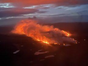
The warnings have been issued as an explosive cyclogenesis, also known as a weather bomb, is forecast to hit Scotland.
What is explosive cyclogenesis?
Explosive cyclogenesis – sometimes informally known as ‘bombogenesis’ or a ‘weather bomb’ – is the name given to a rapidly deepening area of low pressure – deepening at least 24 millibars in a 24-hour period – and is often associated with major winter storms.
How often does explosive cyclogenesis happen?
Only two or three times each winter, but rarely so dramatically.
Follow STV News on WhatsApp
Scan the QR code on your mobile device for all the latest news from around the country