Scotland has been battered by life-threatening hurricane-force winds, with two people in hospital and more than 120,000 homes without power.
LATEST UPDATES: Storm Eowyn: 106,000 without power as wind, snow and ice alerts remain in force
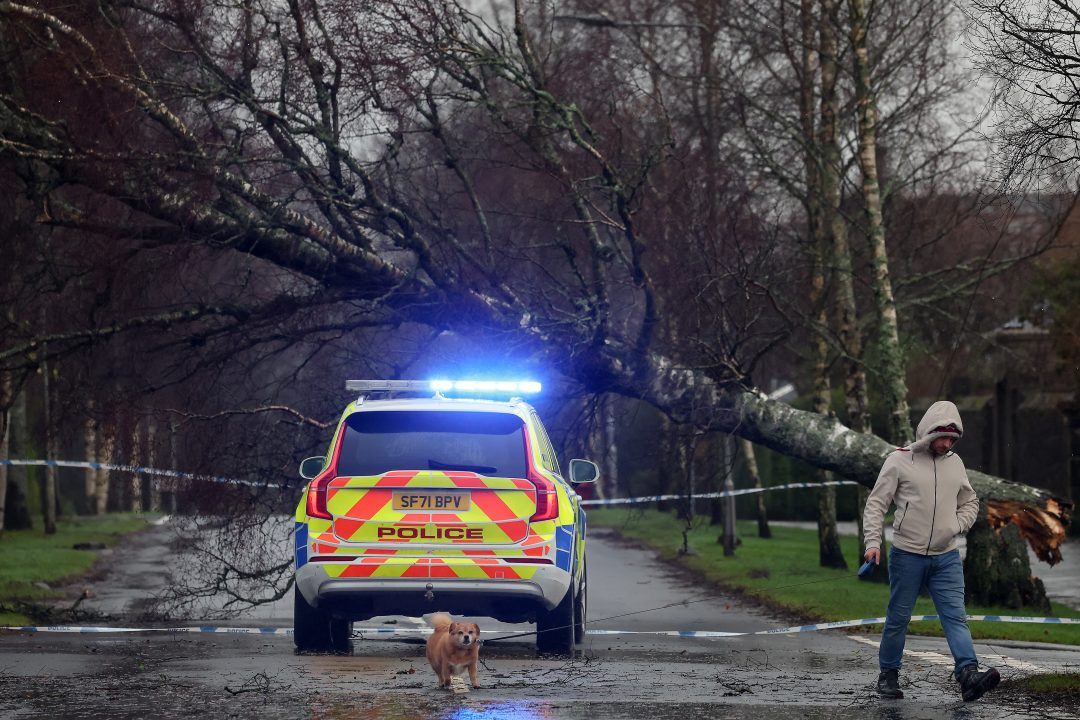
Dangerous gusts of 100mph wreaked havoc across the country, felling trees, tearing roofs from buildings and sending debris hurtling through the air.
The storm brought the most intense weather in recent history, with record-breaking wind speeds in places.
Send us your videos of Storm Eowyn
Have you been impacted by the storm? Share your videos or photos with STV News by clicking the button below and sending us a message
More than 120,000 homes across Scotland are without power. Electricity will not be fully restored until Saturday afternoon in some places.
Scottish Power confirmed that around 70,000 customers were without power in central and southern areas.
The Scottish and Southern Electricity Network (SSEN) said almost 50,000 customers were currently without power across the country.
Two in hospital after widespread disruption of roads
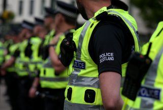
Police have urged drivers to avoid unnecessary journeys and to delay travel plans until conditions improve.
Officers had responded to around 1,500 weather-related incidents across the country on Friday related to the storm.
One person was taken to hospital following a one-car crash on the A81 in Glasgow.
A man has suffered a head injury after his work van became impaled by a fallen tree in Glasgow.
Schools and supermarkets were closed across Scotland on Friday. Hospitals across the Central Belt cancelled outpatient appointments and non-urgent care.
Storm Eowyn was deemed serious enough to trigger the first-ever use in Scotland of the UK-wide emergency alert system which saw phones in the affected areas emit a loud siren and display urgent guidance from the government on Thursday night.
ScotRail suspended all train services on Friday while CalMac cancelled all ferry sailings.
There will be no trains in Scotland until at least midday on Saturday, ScotRail said.
Watch
Helensburgh Leisure Centre has roof stripped off by Storm Eowyn
More than 200 flights were cancelled across Edinburgh, Glasgow and Aberdeen airports.
Passengers were urged to check with their airline before travelling to the airports.
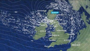
Timelapse shows Storm Eowyn hurtling towards Scotland
Watch
Timelapse shows Storm Eowyn hurtling towards Scotland

Insight Sean Batty STV Meteorologist
Red warnings are very rare and are only issued in exceptional circumstances.
Red warnings come with advice to refrain from travel where possible, and those who can work from home should do so. The good thing is that a lot more people nowadays have the ability, and offices the infrastructure, to allow this to happen more post-Covid.
One of the most significant aspects of this storm is its timing, with the peak expected during daylight hours when more people are likely to be out and about. Storms like this can bring down trees onto roads and railway lines with little warning, and falling debris from buildings poses a serious hazard. For these reasons, staying at home during such periods is much safer.
Follow STV News on WhatsApp
Scan the QR code on your mobile device for all the latest news from around the country


