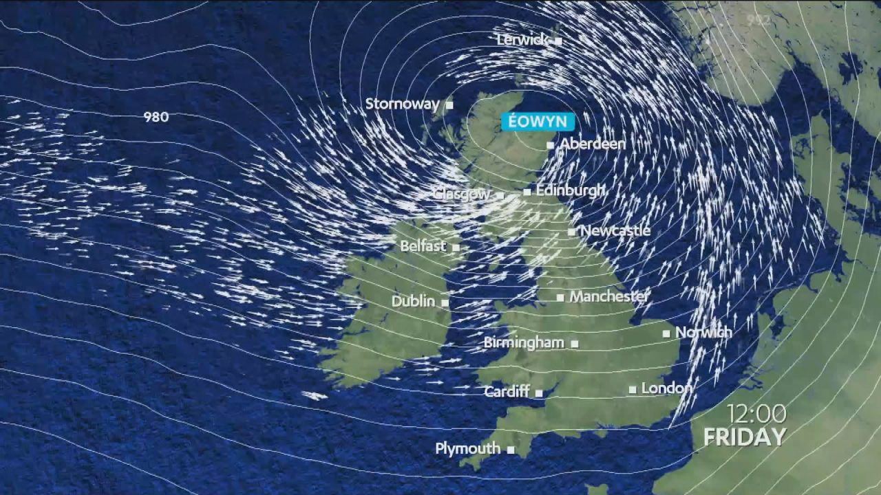
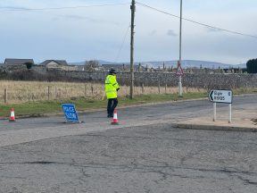
Scotland is being hit by hurricane-force winds, with hundreds of schools closed, transport suspended and a warning to stay indoors and avoid travel.
Here is my timeline for what we should expect from Storm Eowyn across Scotland.
Friday 6 AM
- Storm Centre: Positioned over Donegal, Ireland, with central pressure around 940 mb and still strengthening.
- Scottish Impact:
- Widespread gales developing across Scotland
- Stormy in the south west
 STV News
Friday 9 AM
- Storm Intensity: Storm Éowyn reaches its lowest pressure around 935 mb. The centre will come close to Tiree and if the station here records pressure below 940 mb this will be the lowest recorded in Scotland since 1982.
- Wind Gusts:
- Dumfries and Galloway coast: Gusts around 80 mph.
- Inverclyde & Ayrshire coast: Gusts of 70 mph.
- Strong winds sweeping off the Southern Uplands, impacting the Lothians.
Friday 10 AM
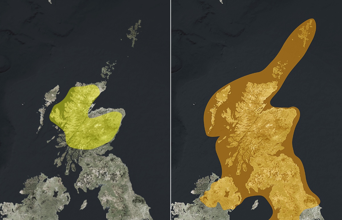
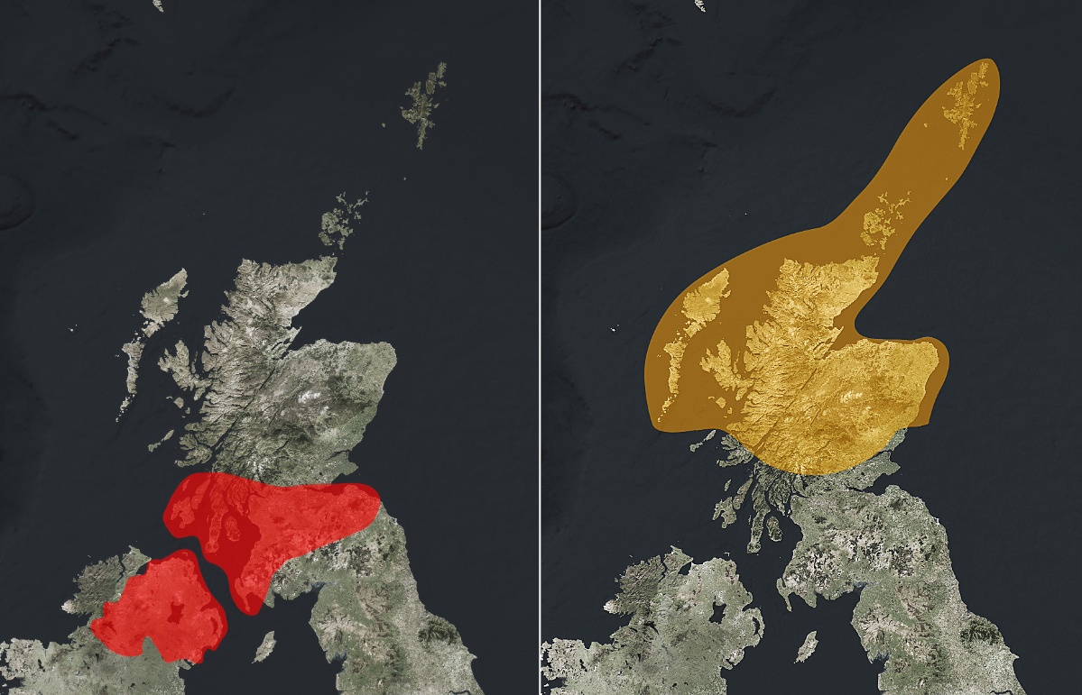
- Red Weather Warning: Comes into effect across central and southern Scotland.
- Winds Intensify: Winds shift westerly, with speeds ramping up:
- Ayrshire: Gusts around 90 mph.
- Islay & Kintyre: Risk of gusts reaching 100 mph.
 STV News
Friday 11 AM – 3 PM
- Strongest Winds:
- Islay, Kintyre, Arran, and Colonsay: Gusts near 100 mph.
- Central belt: Winds funnelled through urban areas could reach 70-80 mph, with higher gusts on bridges and hills.
- Fife & Lothian coasts: Gusts of 80–90 mph possible as winds exit into the Tay and Forth estuaries. Bridges likely to have major restrictions.
- Impact:
- Reports of damage and power cuts likely by this stage. Thousands of homes are normally affected by power loss in storms of this strength.
- Low tide in Ayrshire during this period should help reduce wave heights against sea walls. However, with winds this strong, large waves are still likely, and overtopping of defences remains a possibility.
Friday 3 PM – 6 PM
- Wind Easing in the South:
- Central belt: Winds reduce to 70 mph, but remain strong.
- Red warning expires at 5 PM, but amber warning persists into Saturday.
- Continued Intensity:
- Colonsay, Mull, Jura, and Tiree: Gusts 80–90 mph.
- Angus & Aberdeenshire coast: Winds increase to 80 mph.
Friday 6 PM – 9 PM
- Gradual Easing in the South:
- Central and southern regions still experiencing gusts of 60–65 mph.
- Northern Intensification:
- Moray, Aberdeenshire, and Angus coast: Winds reach 80 mph.
- Western Isles: Winds peak at 70–80 mph.
Friday 9 PM – Midnight Saturday
- Southern Winds Ease: Winds gradually reduce in southern Scotland.
- Northern Peak:
- Winds across the north mainland and Hebrides reach their peak and begin to slowly ease into early hours.
- Orkney: Winds intensify ahead of their peak.
Midnight Saturday – 6 AM Saturday
- Orkney:
- Peak winds around 90 mph during the early hours, coinciding with low tide, working against wave heights.
- Shetland:
- Winds peak in southern Shetland (Sumburgh) with gusts of 80 mph, signaling the final phase of the storm’s impact on Scotland.
Follow STV News on WhatsApp
Scan the QR code on your mobile device for all the latest news from around the country


