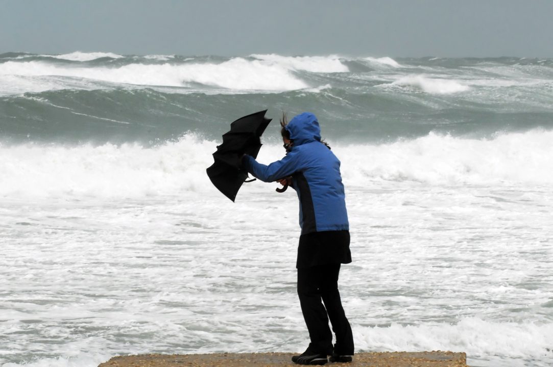
Scotland could be battered by winds up to 75mph as the country braces against the first named storm of the year.
Storm Otto is likely to arrive in the early hours of Friday morning before moving east until Friday afternoon.
The weather front, named by forecasters in Denmark, could also bring up to 50mm of rain in the west of the country.
Met Office chief meteorologist Andy Page said: “Storm Otto will bring high winds and rain to the UK, with some northern parts of Scotland likely to get the strongest gusts of wind, possibly in excess of 75mph. Warnings have been issued and could be updated as Storm Otto develops.
“There’s a chance of travel disruption and high-sided vehicles could be particularly prone to disrupted plans in this set-up. There’s associated rain with Storm Otto, with 40 to 50mm of rain likely to fall over parts of western Scotland.”
The yellow weather warning will be in place in Scotland from 3am until 5pm on Friday, the Met Office said.

Insight Philip Petrie STV Weather Presenter
“Over the past week we have been keeping an eye on a deepening area of low pressure that we knew would be moving across the north of Scotland overnight Thursday into Friday.
“Different models were giving different tracks for the low-pressure system, so confidence was low.
“But on Wednesday with more confidence in the timing and the movement of the low pressure the Met Office issued a wind yellow weather warning that covers much of Scotland, running from 5am on Friday until 3pm later that day.
“The warning covers disruption and impacts caused by strong winds reaching 55 to 65mph gusts quite widely, and also up to 75mph gusts around exposed coasts and hills.
“However, early on Thursday the Danish Met Service decided to name the low-pressure Storm Otto – because of the effects it will have on Denmark later on Friday afternoon. With this in mind the Met Office have decided to adopt the name Storm Otto, making this our first named storm of the season.
“There will likely be some hazards for anyone travelling on Friday morning, and likely disruption to rail and ferry services with gusts now expected of up to 80mph around exposed coasts and hills.
“The Met Office are waiting until late Thursday to decide whether to upgrade our yellow weather warning to an amber, but in either case we should be prepared for Otto.”
Follow STV News on WhatsApp
Scan the QR code on your mobile device for all the latest news from around the country


