We’ve ended the weekend and began the new working week with a lot of fine weather around.
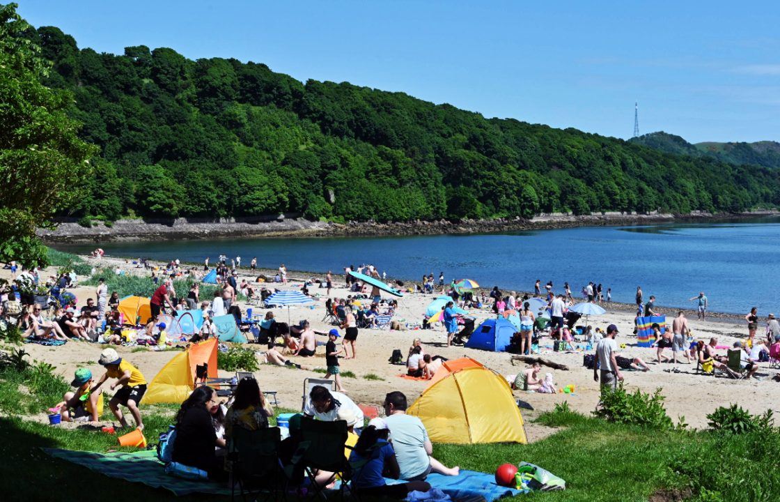
I imagine a lot of people were out in their gardens, down at the beach, out for a walk last night making the most of what could very well be our “two days of summer”, as everyone likes to call it.
There’s always a lot of excitement in the build up to warm and hot weather – “finally summer has arrived!”
But I forecast that after a couple of days of warm conditions there will be a few people not coping with the heat (myself included) and then when things cool down again the excitement fades – “was that our summer?”
We’ve seen a ridge of high pressure building across the country this weekend which has given us mostly dry conditions, and bright skies.
With all the sunshine and the fact our winds are coming from a south to south-westerly direction it means that for much of Scotland we will see temperatures climbing.
On Monday, parts of the north east such as Aboyne, Inverurie, Huntly and Aberlour could reach highs of around 24C-25C, as well as the north west highlands around Altnaharra.
But even through the central belt for Glasgow, Paisley and Edinburgh we could see highs of 23c by mid-afternoon.
But not all areas will be as lucky as the Western Isles and the Northern Isles are always closest to the bad weather lingering out in the Atlantic, so with more cloud around temperatures here remaining in the mid teens.
As always things don’t last long however, and come tomorrow we see fresher air coming in from the west along with a frontal system that will bring with it rain and therefore temperatures will come down.
From Thursday onwards a deep area of low pressure replaces the high pressure we have seen, and things go downhill once again ahead of the weekend.
Follow STV News on WhatsApp
Scan the QR code on your mobile device for all the latest news from around the country


