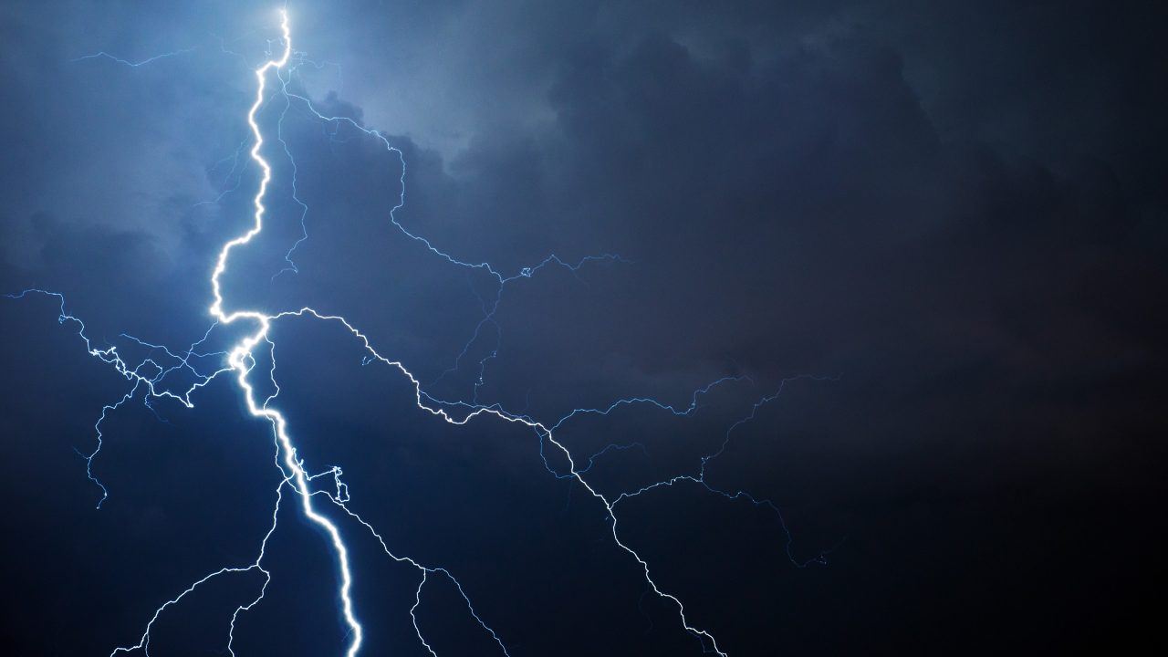
A second yellow alert for thunderstorms is in force across Scotland, warning of heavy downpours, strong winds and possible disruption to parts of the country.
While most areas will remain dry, scattered heavy showers and thundery weather could bring hail, lightning and surface water flooding, particularly in the central and eastern regions.
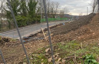
Further rainfall of up to 40mm in less than an hour is possible and some places could see up to 60mm in an hour in isolated areas later in the day.
The Scottish Environment Protection Agency has issued 19 flood alerts.

Sudden flooding could bring disruption to travel on roads and rail, with ferry routes also expected to be disrupted.
The warning, which came into place at midnight covers the whole of Scotland on Thursday and will last until 10pm.
Showers and thunderstorms should slowly ease through the mid to late evening.
It follows Wednesday’s yellow warning, which came into effect at 2pm and lasted until midnight.
Amid the unsettled conditions, Scotland has recorded its second heatwave of the year, with temperatures reaching 31.1C in Charterhall in the Borders and 29.9C in Aviemore in the Highlands.
Dyce in Aberdeenshire recorded 25.4C at 2.46pm on Wednesday – eight degrees above average for the time of year – marking the second heatwave in Scotland so far this summer.
The Scottish Fire and Rescue Service has also issued its tenth wildfire warning of the year.
The public is being urged to avoid using naked flames outdoors between until August 19.
- The first, covering eastern regions, is in effect from August 13 to 15.
- A second, for both eastern and western areas, follows from August 16 to 17.
- A third warning spans much of Scotland – including the east, west, central belt, and southern uplands from August 18 to 19.

Insight Philip Petrie Weather presenter
“Originally we started the week with high pressure in charge of our weather but today we have seen low pressure drifting across Scotland, bringing with it some instability to our weather. Combine that with the current hot conditions and that’s what has sparked off all our thunderstorms on Wednesday and the risk of thunderstorms today.
“Come tomorrow though, we start to see high pressure building in from the Atlantic once again, and this will both help to settle things down in terms of our weather just in time for the weekend, but also cut off that southerly airflow that’s been pulling in the warmer air.
“This means despite conditions becoming more settled, it will also be less warm than it has been.”
Follow STV News on WhatsApp
Scan the QR code on your mobile device for all the latest news from around the country