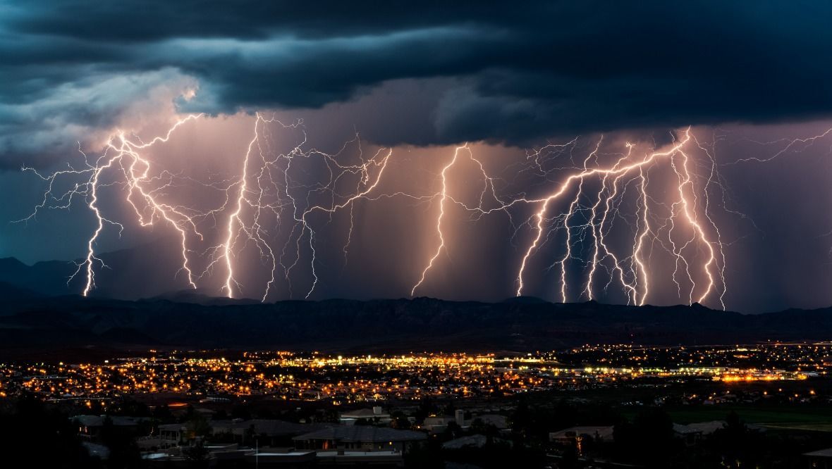
Thunderstorms are to batter Scotland for two days, bringing dangerous conditions with heavy showers and strong gusts of wind.
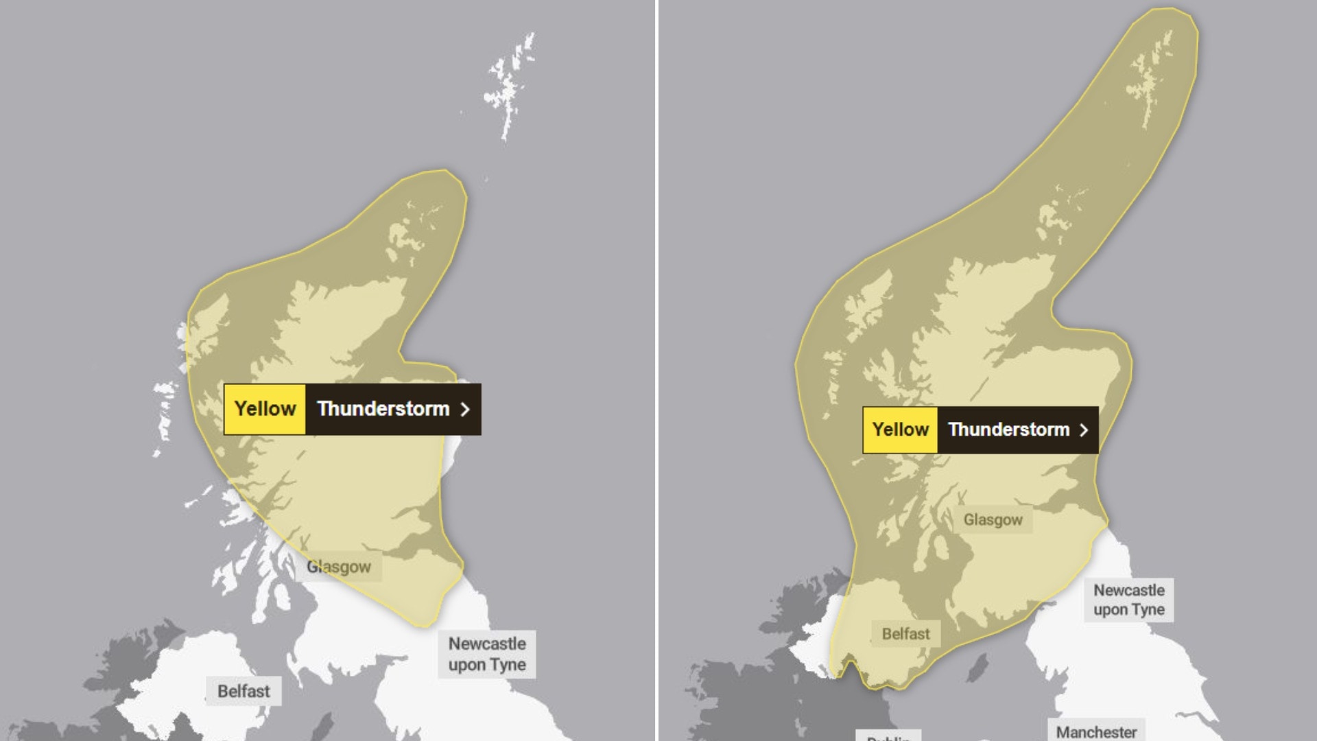
The Met Office has issued has issued two yellow weather warnings with the first covering large parts of the country on Wednesday, coming into effect at 2pm and lasting until midnight.
On Thursday, the second alert covers the entirety of Scotland, and is in force until 10pm.
Sudden flooding is set to bring disruption to travel on roads and rail, with a “small chance” of life-threatening fast and deep floodwater. Ferry routes are also expected to be disrupted.


 Met Office
There could be lightning strikes, power could be cut to homes and businesses, and flooding could damage buildings.
Up to 30mm of rain could fall in less than an hour in some areas, and 50mm overall locally on Wednesday.
Further rainfall of up to 40mm in less than an hour is forecast on Thursday, with up to 60mm in an hour possible across central and eastern Scotland later in the day.
Wednesday’s warning covers the whole of central Scotland, Tayside and Fife, Grampian and the Highlands and Islands, South West Scotland, Lothian and the Borders, the East and large parts of the West.
All but six council areas will be hit by Wednesday’s warning, while the whole of Scotland is affected on Thursday.
It comes as Scotland experiences soaring temperatures amid the third heatwave of the summer.
“The average temperature for Scotland at this time of year is 17C, so it’s incredible that we will be seeing temperatures in some parts of the country reaching as high as 12C above that average over the next couple of days,” said STV weather presenter Philip Petrie.
“We haven’t quite reached heatwave criteria yet, in order for that to happen we need Dyce in Aberdeenshire to reach 25c or above on Wednesday.
“We are now starting to see the influence of low pressure drifting in from the west that is bringing with it more instability – so combining that with the current heat it is sparking off the potential of thunderstorms.
“It is important to note most places will stay dry, not everyone within the warning area will see a thunderstorm, but where they do occur they could cause disruption.
“Into Friday, high pressure builds once again from the Atlantic, settling things down and keeping things mostly fine and dry as we head into the weekend, but it also cuts off the southerly airflow so we will start to see temperatures dropping off.”
Follow STV News on WhatsApp
Scan the QR code on your mobile device for all the latest news from around the country