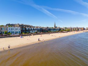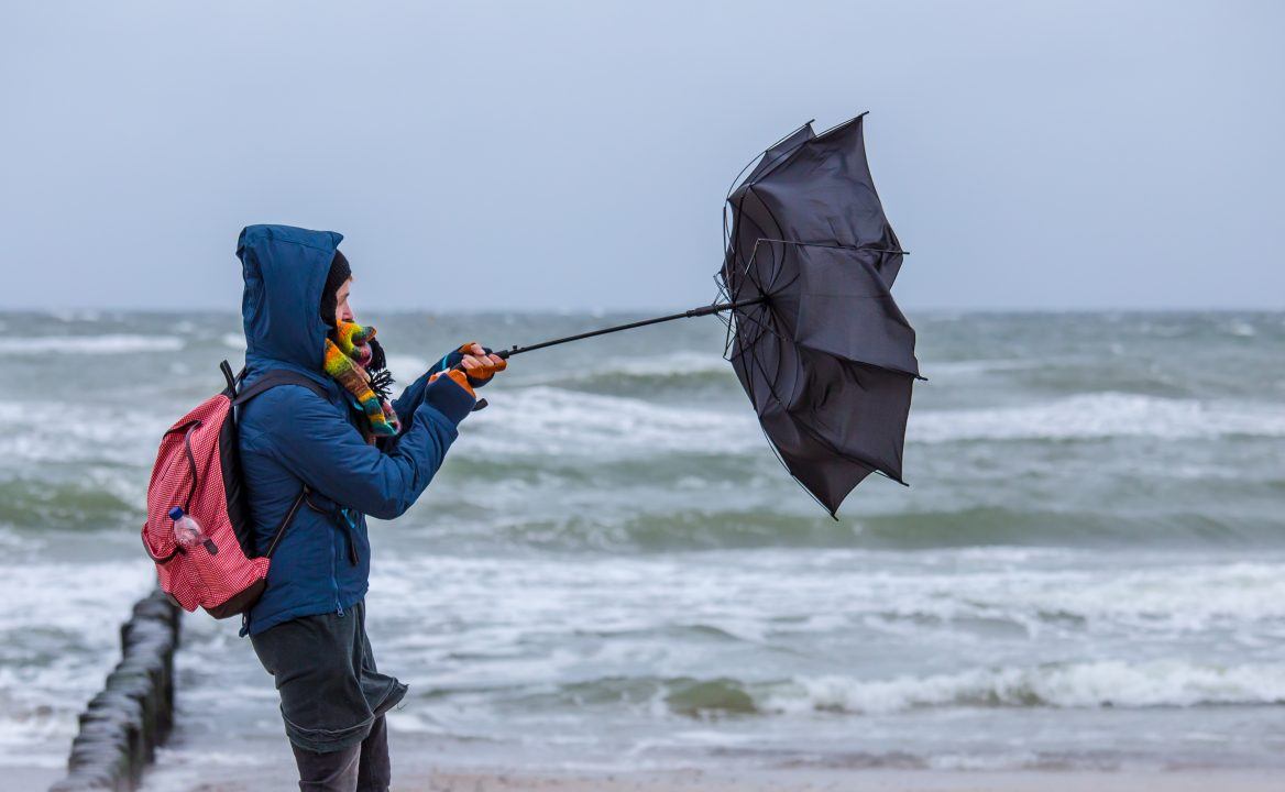
An unsettled week lies ahead, with periods of strong winds and heavy rain expected across the country.
On Tuesday night, a spell of strong winds and heavy rain will move into the north-west, with the worst conditions arriving during the early hours of Wednesday.
Gusts of around 70mph are possible, while there is a small chance that the most exposed coastal areas could briefly see gusts close to 80mph. The greatest risk of these higher gusts is along the north-west Highland coast and the west coast of the Western Isles.
After this system clears, further spells of strong winds are expected to move through on Thursday and again on Sunday, which could bring additional disruption across parts of the country.
There is also a high likelihood that further weather warnings will be issued as the week progresses, so it’s worth keeping an eye on the latest forecasts if you’re planning to travel in the coming days.
This run of unsettled weather may lead to restrictions on some bridges during the week, along with the risk of ferry cancellations, particularly on routes to and from the Hebrides and the Northern Isles.
March is one of the most transitional months of the year, when a wide range of weather can occur — from late-season snow and storms to calm, mild spring conditions. It’s not unusual to go through a spell of unsettled weather before things settle down later in the season, which is partly where the old weather proverb for March, “in like a lion, out like a lamb,” comes from.
For now, however, the outlook suggests we are heading into a distinctly unsettled spell of weather.
Follow STV News on WhatsApp
Scan the QR code on your mobile device for all the latest news from around the country