After an unsettled, cloudy and thundery start to the week it’s a gradually improving picture as we head towards the weekend.
There will be noticeable changes through Thursday, Friday and into Saturday with high pressure dominating our weather.
On Monday, a weather warning was issued for thunderstorms, with much of central and western regions of the country within the warning zone. In the end, over 23 lightning strikes were recorded between 4pm and 8pm around Argyll and Bute, Stirling, Ayrshire and Dumfries and Galloway.
We’ve had a couple of cloudy, murky and damp days since then but through Thursday and into Friday it will be turning more settled, and noticeably warmer.
However there are a couple of things to remember as we head through the week – UV and pollen. With the dry, warm and sunny conditions the pollen levels will be rising to moderate, so anyone with tree and grass allergies may start to notice the effects. We’ll also see the UV index levels rising to around 5, so if you are heading out and about in the sunshine then do take the appropriate protection.
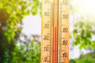
Friday and Saturday look set to be the best days of the week – settled, dry with lots of sunshine and also warm. Models at the moment suggest we could be seeing temperatures hit highs of 21C for some of the main towns and cities.
So far our highest temperature this year was recorded on Friday May 3, with a high of 23.1C recorded at Dunstaffnage.
Follow STV News on WhatsApp
Scan the QR code on your mobile device for all the latest news from around the country


