 georgeclerk via iStock
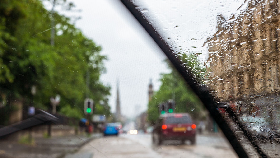
The UK may face its second significant weather hit this August as a deep low-pressure system approaches, bringing strong winds and heavy rain that could disrupt some weekend events and ferry services.
Currently, there’s a small area of rain and strong winds in the western Atlantic – the leftovers of a tropical cyclone.
As this moves from the warm southern side of the jet stream into the colder northern side over the next few days, it’s expected to intensify into a deep low-pressure system, heading towards the UK by the weekend.
40 to 50mm
Possible rainfall in parts of Scotland
The central pressure of this system could be similar to that of Storm Floris. But before you worry, it won’t match the severity of our early August storm.
This is due to a different pressure pattern over the Atlantic, which means the winds will be much less intense this time.
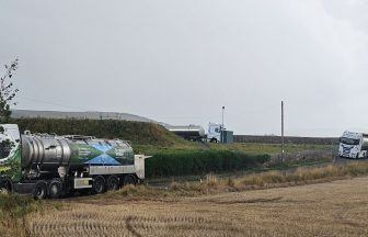
That said, gales are expected to develop along the west coast and across the Hebrides late Saturday and continue through most of Sunday, potentially causing ferry disruption to and from the Inner Hebrides.
In addition to strong winds, heavy rain will be most intense on Saturday afternoon and night, particularly across Ayrshire, Inverclyde, Argyll and Bute, and the Highlands. Localised flooding could affect some roads in these areas.
Looking at wind speeds alone, this storm might not usually warrant a name. However, given the time of year – with schools still on summer break in Wales and England, and many people holidaying in Scotland – this makes a name more likely.
Ireland, where the winds are expected to be stronger, might also name it before it reaches the UK.
While conditions don’t look too severe, expect an unsettled, wet, and windy weekend with potential travel disruption.
As always, I’ll keep you updated if anything changes.
Follow STV News on WhatsApp
Scan the QR code on your mobile device for all the latest news from around the country