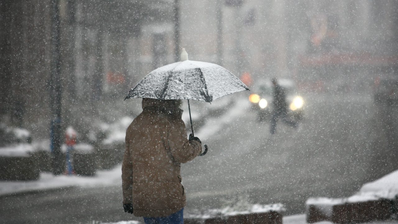
Rain and snow with the potential to cause travel disruption has been forecast as the Met Office has issued a yellow weather warning for some parts of Scotland on Tuesday.
The warning, which is in place from midnight on Tuesday, March 26, until noon the same day, comes as a band of persistent rain and snow will move north across Scotland overnight Monday into Tuesday.
Forecasters said that the weather has the potential to cause disruption in places, mainly to travel, with snow focused over high ground.
There is a small chance that power cuts will occur and other services, such as mobile phone coverage, may be affected, and a slight chance that some rural communities could become cut off.
Where flooding occurs, the Met Office said that there is a chance of delays or cancellations to train and bus services while spray and flooding could lead to difficult driving conditions and some road closures.
There is a small chance of travel delays on roads with some stranded vehicles and passengers, along with delayed or cancelled rail and air travel.
The warning covers Angus, Clackmannanshire, Dundee, Fife, Perth and Kinross, Stirling, Aberdeen, Aberdeenshire, Moray and the Highlands.
At low elevations (below 150-200 metres) this will fall mostly as rain, with 35-45mm falling quite widely over Fife, Angus and Aberdeenshire and perhaps more than 50mm in some locations with surface water causing some spray on roads.
At moderate elevations (above 150-200 metres) snow is more likely, mainly 1-2 cm of slushy deposits, but 2-5 cm possible in some places affecting higher transport routes.
At higher elevations (above 300 metres ) 10-20 cm may fall causing travel issues on higher routes.
People in the areas affected are being urged to check road conditions if driving, or bus and train timetables, and amend travel plans if necessary.

Insight Philip Petrie STV weather presenter
We’re now well into Spring, but that isn’t stopping things from feeling a bit unseasonable and unsettled as we head towards Easter weekend.
For the rest of Sunday we are in between systems so for many things will remain dry and bright. It’s not until overnight into the early hours of Monday we see our next frontal system pushing in, bringing with it a band of rain. As that rain engages with the cold air we will see some heavy hill snow and some wintry showers down to lower levels through the second half of Monday and overnight into Tuesday.
The rain and snow continues into Tuesday as it moves northwards, and it will be quite significant and heavy, triggering the Met Office to issue a rain and snow warning. This covers Angus, Dundee, Perth & Kinross, Stirling, Fife, parts of Aberdeenshire, the Highlands and Moray and lasts through the first part of the day.
Elsewhere we aren’t expecting to see much snow through the central belt, perhaps 1-2cm of slush during the 24 hours from midday Monday to midday Tuesday.
After this, come midweek, our weather is dominated by a large area of low pressure, that acts like a washing machine for the rest of the week. Constantly spinning just to the next of the UK, bringing with it bands of rain spiralling around the low pressure system centre.
Follow STV News on WhatsApp
Scan the QR code on your mobile device for all the latest news from around the country


 iStock


