Key Points
-
 A Met Office yellow weather warning for thunderstorms was in force from 2am until 1pm
 - A house in Aviemore has caught fire after it was struck by lightning
- The Scottish Environment Protection Agency has issued 18 flood alerts.
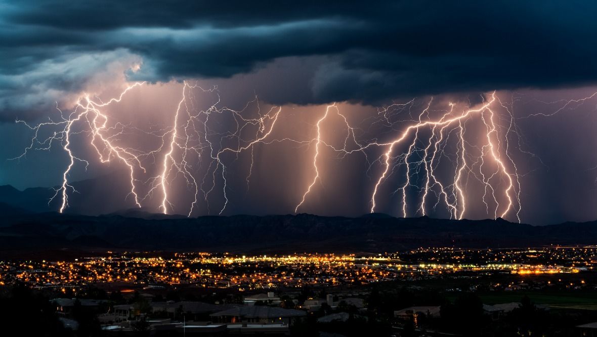
- There have been more than 15,000 lightning strikes recorded in 24 hours
- The weather is expected to cause disruption on roads with difficult conditions and closures
Scotland is braced for thunderstorms with a weather warning in force across the country.
The Met Office alert started at 2am on Monday and was in effect until 1pm. There have been more than 15,000 lightning strikes recorded in the last 24 hours.
A house in Aviemore has caught fire after it was struck by lightning. Four appliances and a height vehicle were sent to a property on Grampian View following a lightning strike at around 10am on Monday.

The Scottish Environment Protection Agency has issued 18 flood alerts.
The warning covers the entirety of the country with some parts to see frequent lightning, heavy rain, hail and short periods of strong winds.
The weather is expected to cause disruption on the roads with drivers urged to expect difficult conditions and some road closures.
ScotRail has asked customers to plan ahead in case of disruption while SEPA has said surface water is likely to affect the transport network. Regional Flood Alerts are also in place.
Rush hour train services to Edinburgh were cancelled between the captial and Bathgate due to a gas leak in Livingston.

Insight Philip Petrie STV weather presenter
The week and weekend ended fairly fine thanks to high pressure that’s been dominating our weather, but things are quickly going downhill as we head into the new working week.
Overnight we saw a frontal system approaching from the west bringing with it cooler air. As that bumps up against the currently warmer air we have across the country, it will put us into a volatile air mass and spark off thunderstorms.
This is why the Met Office have issued the thunderstorm warning that came into effect at 2am on Monday morning and lasts until 1pm later in the afternoon.
The initial pulse of heavy and torrential rain comes through around rush hour which is likely to cause a lot of travel disruption and tricky conditions for people getting to work first thing. There will likely be a lot of surface water on the roads, flash flooding, and also frequent lightning strikes that could lead to power outages.
Most areas will see torrential downpours through the morning as the frontal system and band of rain crosses the country. Once it starts to clear eastward however we will start to see sunnier and drier conditions moving in from the west in the afternoon from around midday onwards.
Follow STV News on WhatsApp
Scan the QR code on your mobile device for all the latest news from around the country